What is recorded here
A dense deposit (L 2.1m min.; Wth 2.65m; D 0.06m) of regularly laid brushwood, probably the remains of a hurdle. The site consists of over a hundred pieces of brushwood (diam. 0.015-0.05m) in one central concentration (L 1.8m max.; Wth 1.24m). This central area is very fragmented but is three to four pieces deep. There appears to be at least four possible rods orientated approximately NW-SE with the sails orientated NE-SW. The overall width of the site is extended by an outlying light roundwood on the W edge and some pieces of displaced brushwood on the S side. Two stakes are present on the S side of the deposit. Toolmarks are evident on a number of elements.
Compiled by: Irish Archaeological Wetland Unit (University College Dublin).
This site was recorded by the Irish Archaeological Wetland Unit (UCD) in 2001 as a tertiary togher (Irish Archaeological Wetland Unit (UCD) 2002). It was described as a dense deposit of regularly laid brushwood on the field surface, possibly the remains of a hurdle panel. Unfortunately, when it came to excavating this site under licence no. 04E0728, all that remained was a concentration of woodchips on the field surface; the site no longer existed. As a result, no cutting was excavated for this site.
Reference
Irish Archaeological Wetland Unit (UCD) 2002 Archaeological survey report: Clonad Bog, Co. Offaly. Unpublished report commissioned by Dœchas, the Heritage Service.
Eoin Corcoran, Archaeological Development Services Ltd, Windsor House, 11 Fairview Strand, Dublin 3.
Date of revision: 23 April 2009
The monument record does not grant public access. Check the route and ask the landowner before entering private land.
- What survives
- Recorded monument
Places near here
 StructureStructure, peatland · 56 yd
 PlatformPlatform, peatland · 267 yd
 RoadRoad, class 3 togher · 282 yd
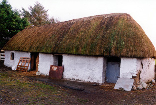 outbuildingoutbuilding · 1.3 mi
 Fort Castle (in Ruins)Bawn · 2.0 mi
 Geashill Castle (ruins)Castle · 2.2 mi
 Father BurbageMemorial · 2.2 mi
 Geashill Glebe WalkVisitor information · 2.3 mi
 Furzehill WoodWood · 2.7 mi
 Lady's WellSpring · 3.1 mi
 Children's WellSpring · 3.1 mi
 Mountlucas Wind Farm Visitors CentreVisitor information · 3.3 mi