What is recorded here
A substantial togher (L 16m min.; Wth 1.8m min.; D 1.5m), found in 1989, 1.5m below the bog surface, consisted of three overlapping panels of woven hazel rods overlain by large roundwood, which damaged the hurdles beneath. The largest panel (L 5.2m; Wth 1.1-1.2m) remained intact and was constructed of twelve or thirteen sails with 84 rods interwoven around them. The togher ended with a small scatter of brushwood and was orientated ESE-WNW. Radiocarbon dated to 2298-2038 BC (3770±40 BP, GrN-18360). (Raftery 1990, AG2, 21-2, 28-9; 1996, Annaghbeg 2, 173-8)
Compiled by: Mary Tunney based on data supplied by the former Irish Archaeological Wetland Unit, University College, Dublin.
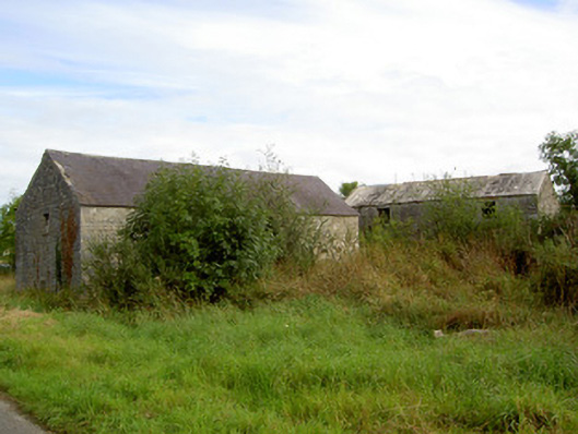
The attached image was taken by Prof. Barry Raftery and is uploaded courtesy of the Department of Archaeology, University College Dublin.
Date of upload: 26 August 2011
The monument record does not grant public access. Check the route and ask the landowner before entering private land.
- What survives
- Recorded monument
Places near here
 StructureStructure, peatland · 35 yd
 RoadRoad, class 3 togher · 219 yd
 PlatformPlatform, peatland · 1299 yd
 mill (water)mill (water) · 1504 yd
 CastleCastle, tower house · 2.5 mi
 Commons North WalkVisitor information · 3.6 mi
 Wild birdsVisitor information · 3.6 mi
 White Sand WoodWood · 3.6 mi
 Graveyard in Curry (ardagh By., Coolamber Ed)Graveyard · 3.8 mi
 Rathcline CastleBawn · 3.9 mi
 Ballyclare IslandIslet · 4.1 mi
 Goat's IslandIslet · 5.4 mi