What is recorded here
Situated on gentle SE-facing slope, in undulating pasture, with restricted views. Monument described as a roughly circular-shaped area (diam. 31.5m) enclosed by a bank best preserved from W-N-NNE and from ESE-SE with several small disturbance gaps. There is no visible trace of an external fosse. A very wide gap (Wth at top 8.4m; Wth at base 4.7m) at SSE may represent the entrance. The interior has a SSE-facing slope and there are traces of cultivation ridges running NNW-SSE. A field report from 1971 noted a low earthen bank extending from the centre of the monument to the enclosing bank at WNW. There is a large quarried depression just outside the bank from ESE-SE. A field boundary running NW-SE intersects the monument at SW.
Compiled by Alison McQueen, Vera Rahilly and Caimin O’Brien.
Date of upload: 06 November 2019
This remains an important historical record, but the official description says the monument is no longer visible or has been destroyed. The monument record does not grant public access. Check the route and ask the landowner before entering private land.
- What survives
- No visible remains or recorded as destroyed
Places near here
 CastleCastle, unclassified · 417 yd
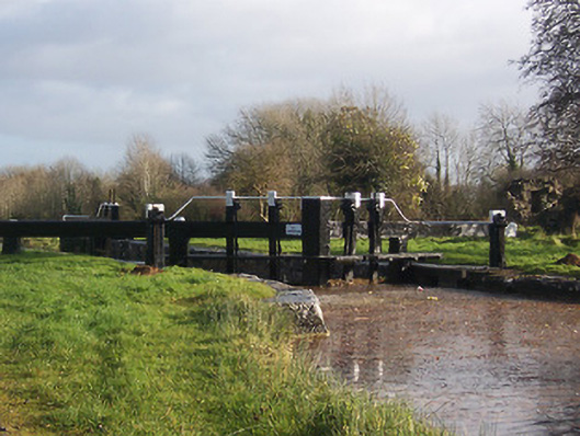 24th Locklock · 881 yd
 Riverstown Lodgehouse · 894 yd
 OutlinedFairy fort / earthen ringfort · 1145 yd
 Enclosure in Porterstown (napper)Enclosure · 1199 yd
 Bawn in Kerinstown and Balrowan (rowley)Bawn · 1431 yd
 GinkgoGinkgo · 4.8 mi
 ScregganWood · 6.1 mi
 Croppies' GraveMemorial · 8.0 mi
 23rd Locklock · 902 yd
 22nd Locklock · 975 yd
 Heatherstown Bridgebridge · 978 yd