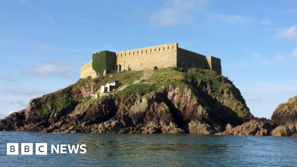
What is recorded here
Rinmore is a quadrangular earthen artillery fort built in 1643 to command the sea approaches to Galway harbour. The Atlantic has already swallowed its southwest corner, proving that even military ambition must eventually yield to the tide. Its surviving northeast and southeast bastions still point outward like stubborn fingers, defending nothing but memory against the endless patience of the sea.
On seashore 1.5km ESE of Galway town (GA094-100----). A quadrangular earthen artillery fort (L/Wth 30m) with salient angle-bastions at each corner which is surrounded by an irregular fosse. The entrance, via a causeway, was midway along E side. The NE and SE bastions survive intact but NW is damaged by a 19th-C butt, and whole SW part of the fort has been eroded by the sea. Built in 1643, along with a sister fort near Nimmo's Pier (GA094-099002-), to command the sea approaches to the harbour. (Walsh 1988; Kerrigan 1980, 136; O'Dowd 1985, 28-9, 38-9)
The above description is derived from the published 'Archaeological Inventory of County Galway Vol. I - West Galway'. Compiled by Paul Gosling (Dublin: Stationery Office, 1993).
Date of upload: 05 August 2010
The monument record does not grant public access. Check the route and ask the landowner before entering private land.
- What survives
- Recorded monument
Places near here
 Old FortRuins · 15 yd
 Dead Mans BeachBeach / strand · 130 yd
 Dún Uí Mhaoilíosabarracks · 422 yd
 Siege of Galwaysiege · 807 yd
 Ballyloughane BeachBeach / strand · 1008 yd
 St. Augustines WellsHoly well · 1042 yd
 Fortification in Townparks (galway By., Rahoon Par.)Fortification · 1145 yd
 Seán DugganMemorial · 1211 yd
 Hare IslandIslet · 1338 yd
 City WallsHeritage attraction · 1360 yd
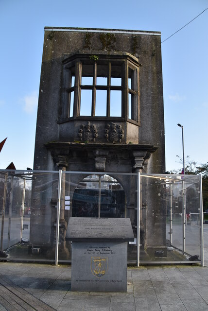 Browne DoorwayVisitor information · 1426 yd
 Mechanics InstituteMemorial · 1458 yd
Other information
Photo: Credit not shown in the picture search · Rights wording not checked; contact us if this picture should be removed