What is recorded here
One of two ring-ditches visible on AP taken by G.F. Barrett (GB89. W17) (see also CW016-108----). The surrounding area was archaeologically tested (Excavation Licence 02E0351) to facilitate a housing development in 2002. The remains of field systems were noted to the N and S of the enclosures (see CW016-118---- and CW016-119----). (Stafford and Benen, 2002)
Reference:
Stafford E. and Hayden B. 2002 Archaeological Assessment Report Carlow County Council Planning File Ref. No. 01/764. Licence No. 02EO351 Client: Respond Housing Association. South Eastern Archaeology. Unpublished Report, National Monuments Service, Department of Arts, Heritage and the Gaeltacht.
Compiled by: Claire Breen
Date of upload: 19 August 2011
The monument record does not grant public access. Check the route and ask the landowner before entering private land.
- What survives
- Recorded monument
Places near here
 Enclosure in MoneybegEnclosure · 359 yd
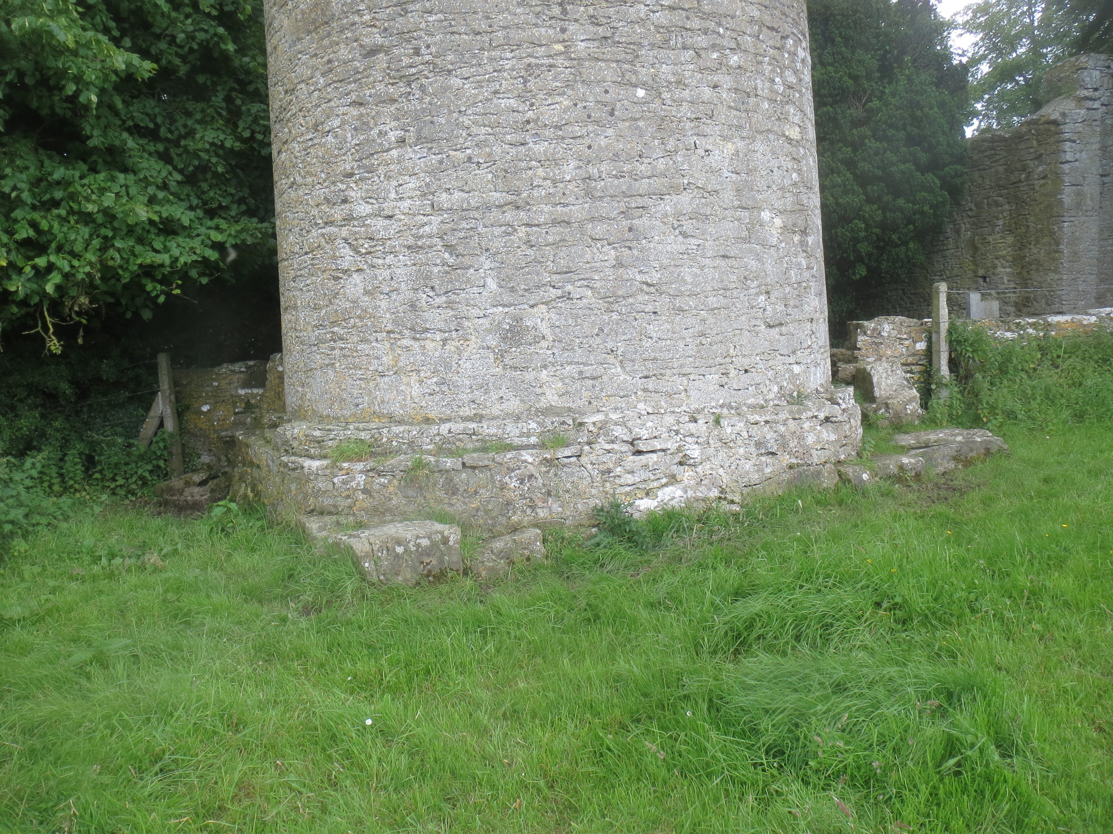 Enclosure in KilreeEnclosure · 455 yd
 Saint Mary's Church (Dunleckny)church/chapel · 669 yd
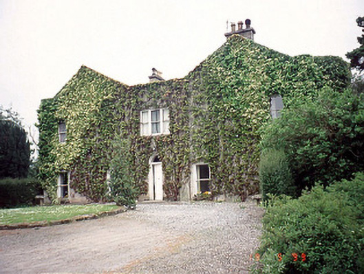 Eastwoodhouse · 693 yd
 Lock Keeper's House and Lodge MillsVisitor information · 777 yd
 The Columban WayVisitor information · 1046 yd
 Church (in ruins), GraveyardChurch · 1.0 mi
 Wych ElmWych Elm · 1.4 mi
 Sweet ChestnutSweet Chestnut · 1.5 mi
 Dunleckny Ho.Castle, unclassified · 1.6 mi
 CastleCastle, motte · 1.6 mi
 Church, GraveyardChurch · 2.5 mi