What is recorded here
Reported by Jean-Charles Caillere; in tillage and visible on Bing aerial imagery as a circular area (diam. c. 14m) defined by the cropmark of a fosse.
See attached image: KD011-075----_01 Snip of Bing aerial image.
Compiled by: Gearóid Conroy
Date of upload: 14 June 2023
The monument record does not grant public access. Check the route and ask the landowner before entering private land.
- What survives
- Recorded monument
Places near here
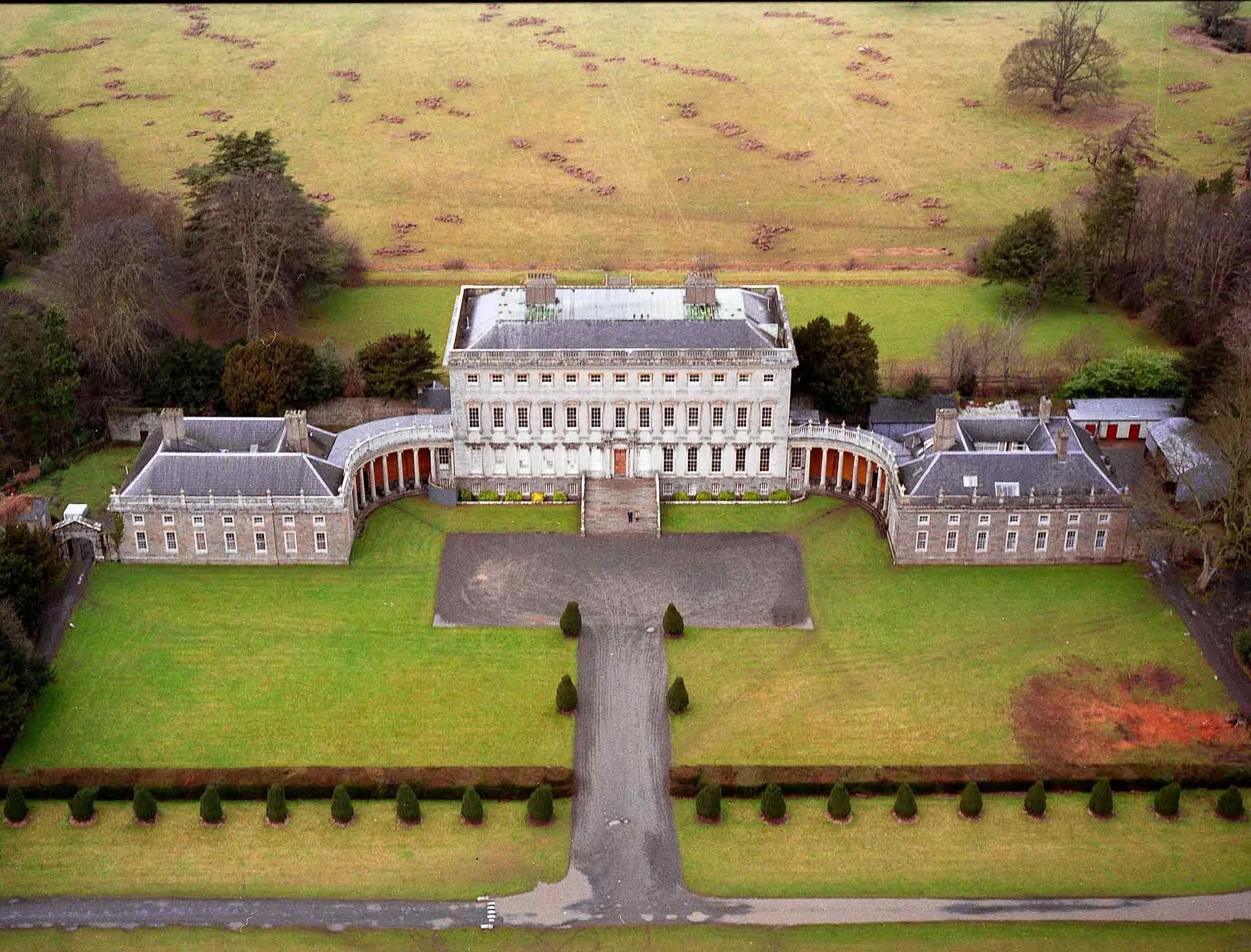 Enclosure in CastletownEnclosure · 306 yd
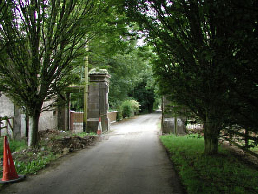 Castletowndemesne walls/gates/railings · 661 yd
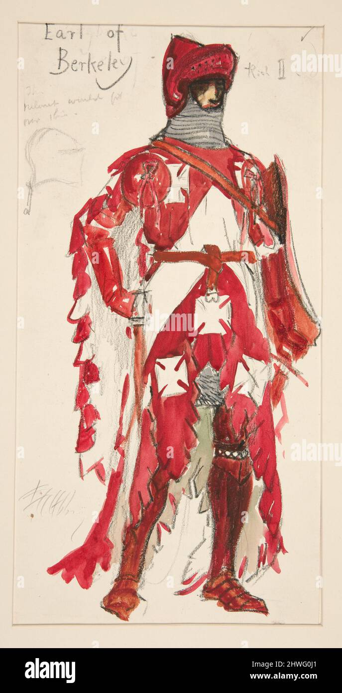 Berkeley Costume and Toy CollectionMuseum · 997 yd
 Church (in Ruins)Church · 1017 yd
 Ecclesiastical enclosure in Kilmacredock UpperEcclesiastical enclosure · 1027 yd
 Castletown HouseHeritage attraction · 1028 yd
 CastleCastle, unclassified · 1153 yd
 Batty Langley WoodsForest · 1663 yd
 Common LimeCommon Lime · 1.1 mi
 Natalie MurrayMemorial · 1.2 mi
 Arthur GuinessMemorial · 1.2 mi
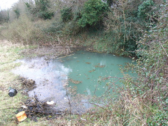 Leixlip Spa - SpringSpring · 1.3 mi