What is recorded here
Identified during an aerial photographic survey by Dr. Gillian Barrett on 17 July 1991. Aerial photograph (GB91.EF.37) shows the cropmark of a circular enclosure (KD034-030----) defined by a fosse. A small ring-ditch is located in the interior.
Compiled by: Gillian Barrett
Date of upload: 12 December 2011
The monument record does not grant public access. Check the route and ask the landowner before entering private land.
- What survives
- Recorded monument
Places near here
 Enclosure in Castlemitchell SouthEnclosure · 1 yd
 Enclosure in KilcooEnclosure · 923 yd
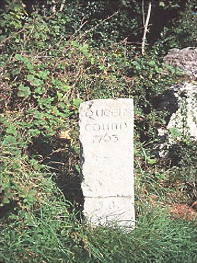 milestone/milepostmilestone/milepost · 1344 yd
 Castle MitchellCastle, unclassified · 1516 yd
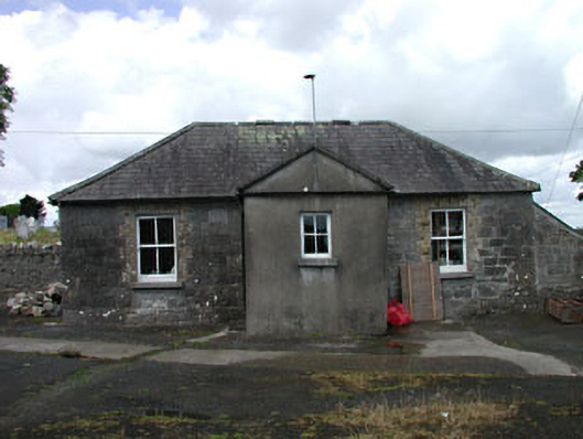 The Old Schoolschool · 1.2 mi
 Brackney WoodForest · 1.3 mi
 DM PenderMemorial · 1.6 mi
 Ballyadams CastleCastle · 1.9 mi
 Pedunculate OakPedunculate Oak · 2.3 mi
 Ernest ShackletonMemorial · 2.8 mi
 Town HallMuseum · 2.8 mi
 Cobbler's Castle WalkWalking route · 2.9 mi