What is recorded here
In 2002, archaeological excavation (Licence no. 02E0988) was carried out in advance of the proposed M4 Kinnegad-Enfield-Kilcock motorway development. The site was previously uncovered during centre-line testing (Licence no. 02E0141). A circular enclosure and five pits to its N were recorded. The main feature was a ring-ditch, most of which had been ploughed out, and plough furrows were found across the site. No evidence of a mound or bank was identified. The ditch was 6.4-7m in diameter and 0.3-0.7m wide, being widest in the south-west corner and narrowest in the north-east. There was a sharp break at the top of the cut, with an imperceptible break at the base, giving a U-shaped profile. The ring-ditch was 0.1-0.2m deep and filled with a deposit of mid-orange/brown, loamy clay that had inclusions of small pebbles and occasional charcoal flecks. A number of small pits/post-holes to the north of this feature may be related, and one in particular showed evidence of burnt bone and charcoal. There was no evidence anywhere on the site of in situ burning. (www.excavations.ie)
Compiled by: Gearóid Conroy
Date of upload: 10 June 2011
The monument record does not grant public access. Check the route and ask the landowner before entering private land.
- What survives
- Recorded monument
Places near here
 Cross in Cloncurry (ikeathy & Oughterany By., Cloncurry Ed)Cross · 147 yd
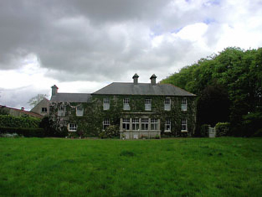 Ballyvoneen Househouse · 168 yd
 Enclosure in Cloncurry (ikeathy & Oughterany By., Cloncurry Ed)Enclosure · 352 yd
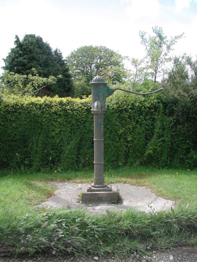 water pumpwater pump · 421 yd
 Cloncurry GraveyardHeritage attraction · 779 yd
 European ashEuropean ash · 861 yd
 Cloncurry MoatCastle, motte · 864 yd
 Old Bog Road made famous by Teresa Bryton 1868-1943Memorial · 1.3 mi
 Site of Dunfierth CastleCastle, unclassified · 2.2 mi
 Kilgar GardensHeritage attraction · 3.7 mi
 Wych ElmWych Elm · 4.5 mi
 9/11 MemorialMemorial · 4.9 mi