What is recorded here
Just outside the N angle of the rectilinear enclosure (ME025-079----) an arc of a ditch (L 15m; Wth 1.5m; D 0.54m) amounting to about a quarter of its total extent was excavated. Its N extent had been destroyed by quarrying but it does not return at the E edge where a narrow pit (L 1.5m; Wth 0.5m; D 0.15m) that could represent its continuation is cut by a later pit so its connection with the arced ditch cannot be established. Its main curve had a single fill of silty clay that contained some animal bones identified as sheep/goat, but no dateable material was recovered. Its location outside the possible entrance to the rectilinear enclosure suggests that they may be contemporary. (McQuade 2007, 14-15)
See the attached plans from Hession (_01, _02) (2009, figs 5, 6) and McQuade (_03) (2007, fig. 5)
Compiled by: Michael Moore
Date of upload: 31 March 2023
McQuade, M. 2007 Archaeological Monitoring and Excavation, Athlumney, Co. Meath. Licence: 97E0322ext. Unpublished report, Margaret Gowen & Co.
The monument record does not grant public access. Check the route and ask the landowner before entering private land.
- What survives
- Recorded monument
Places near here
 Enclosure in AthlumneyEnclosure · 83 yd
 Field boundary in AthlumneyField boundary · 166 yd
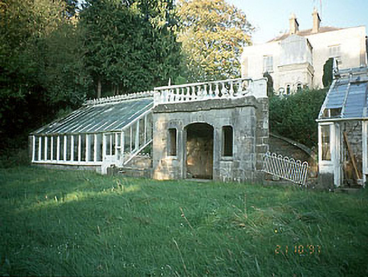 Boyne View Housesummerhouse · 392 yd
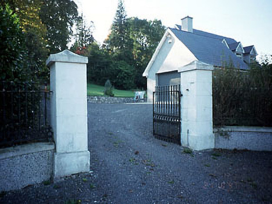 Belmount Housegates/railings/walls · 671 yd
 CastleCastle, motte · 1092 yd
 The RampartWood · 1632 yd
 Blackcastle DemesneWood · 1.7 mi
 Carn HillMountain / peak · 1.7 mi
 Donaghmore Round TowerHeritage attraction · 1.9 mi
 Nangle CourtMemorial · 1.9 mi
 Assey CastleCastle, tower house · 3.6 mi
 BohermeenMountain / peak · 4.5 mi