
What is recorded here
A subcircular Iron Age enclosure (int. dim. c. 45m E-W) is defined by a wide fosse (Wth of top c. 3-6m) that is recorded E-S-W but its N extent lies outside the exposed area or could underlie alluvial soils that were the topmost deposits. It is located just NE of the burial ground (ME025-078----) and just 5m W of the prehistoric rectilinear enclosure (ME025-079----). Its perimeter fosse is cut by the third outermost fosse surrounding the burial ground. A section through the U-shaped ditch (Wth of top 4.2m; D 1.82m) provided a sample from a middle layer that yielded a C14 date of 255-392 cal. AD (UBA-11143). The sampled section showed this ditch cutting an earlier ditch (Wth 1.8m; D 1.1m) and was itself post-dated by a later linear ditch (Wth 1m; D 0.6m). Fifty five features were recorded within the enclosure, including 3 possible corn-drying kilns, 32 possible slot-trenches, 7 post-holes, 3 pits and 3 spreads. Despite the great number of slot-trenches no structures could be identified and most were probably re-iterations of wind-breaks or small shelters, even though no hearths as such were recorded. Two of the kilns were figure-of-eight shaped (L 1.9m x 0.4-1m: L 3.2m; Wth 1.2-1.3m) and one was keyhole-shaped (diam. 1.4m; L 2.3m). (Hession 2009, 35-38)
See the attached site plans from Hession (2009, figs 5, 7)
Compiled by: Michael Moore
Date of upload: 31 March 2023
Hession, J. 2009 Final Archaeological Report for the multiphase archaeological landscape preserved in situ at IDA Business and Technology Park, Dublin, Rd., Navan, Co. Meath. Licence: 07E0892. Unpublished report, Margaret Gowen & Co.
The monument record does not grant public access. Check the route and ask the landowner before entering private land.
- What survives
- Recorded monument
Places near here
 Field boundary in AthlumneyField boundary · 95 yd
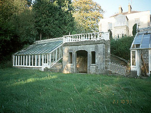 Boyne View Housesummerhouse · 323 yd
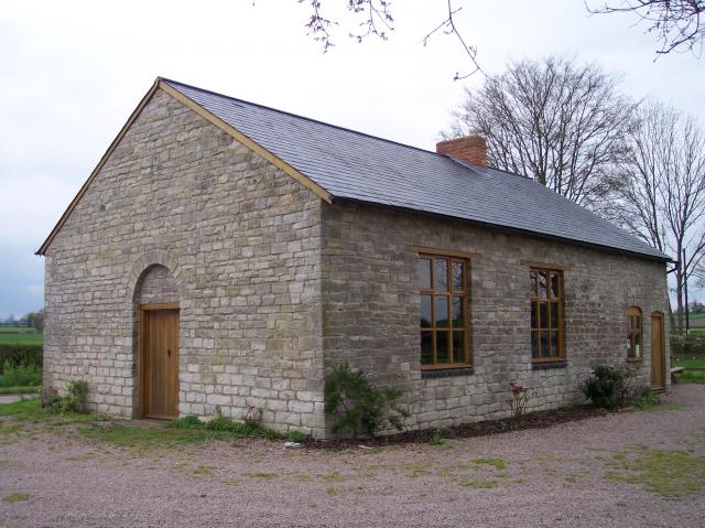 Site of Old ChapelChurch · 540 yd
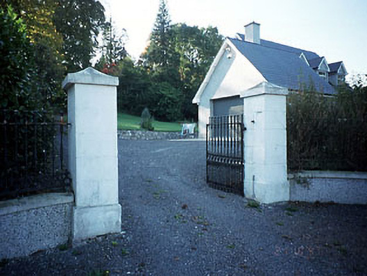 Belmount Housegates/railings/walls · 608 yd
 CastleCastle, motte · 1058 yd
 The RampartWood · 1611 yd
 Blackcastle DemesneWood · 1.8 mi
 Carn HillMountain / peak · 1.8 mi
 Donaghmore Round TowerHeritage attraction · 1.9 mi
 Nangle CourtMemorial · 1.9 mi
 Assey CastleCastle, tower house · 3.6 mi
 BohermeenMountain / peak · 4.5 mi
Other information
Photo: Credit not shown in the picture search · Rights wording not checked; contact us if this picture should be removed