What is recorded here
Beagh River Sink marks a hidden cave entrance at Rindifin in County Galway, where the visible river may surrender its water into dark stone. The distinction between a map point and a living entrance matters because the land still belongs to someone and the ground may hide depth, water or danger. To approach it is not to own it; it is to ask whether the river has stopped being a river or merely stopped being visible.
The Irish Caves Database records Beagh River Sink at Rindifin in County Galway. This point comes from its public cave register. A cave map point does not by itself grant access: check local conditions and ask the landowner where needed.
The cave register does not grant public access. Check conditions and ask the landowner before entering private land.
Places near here
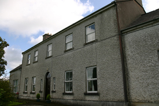 Prospect Housecountry house · 666 yd
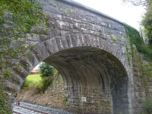 bridgebridge · 1012 yd
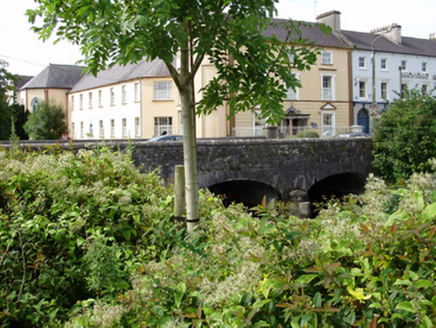 IndicatedFairy fort / stone ringfort · 1354 yd
 Structure in BunnasrahStructure · 1.0 mi
 Cavalry Bks on Site of Gort CastleCastle, unclassified · 1.3 mi
 Castle IslandIsland · 1.4 mi
 Castle in ruinsCastle, tower house · 1.4 mi
 Keaghery IslandWood · 1.4 mi
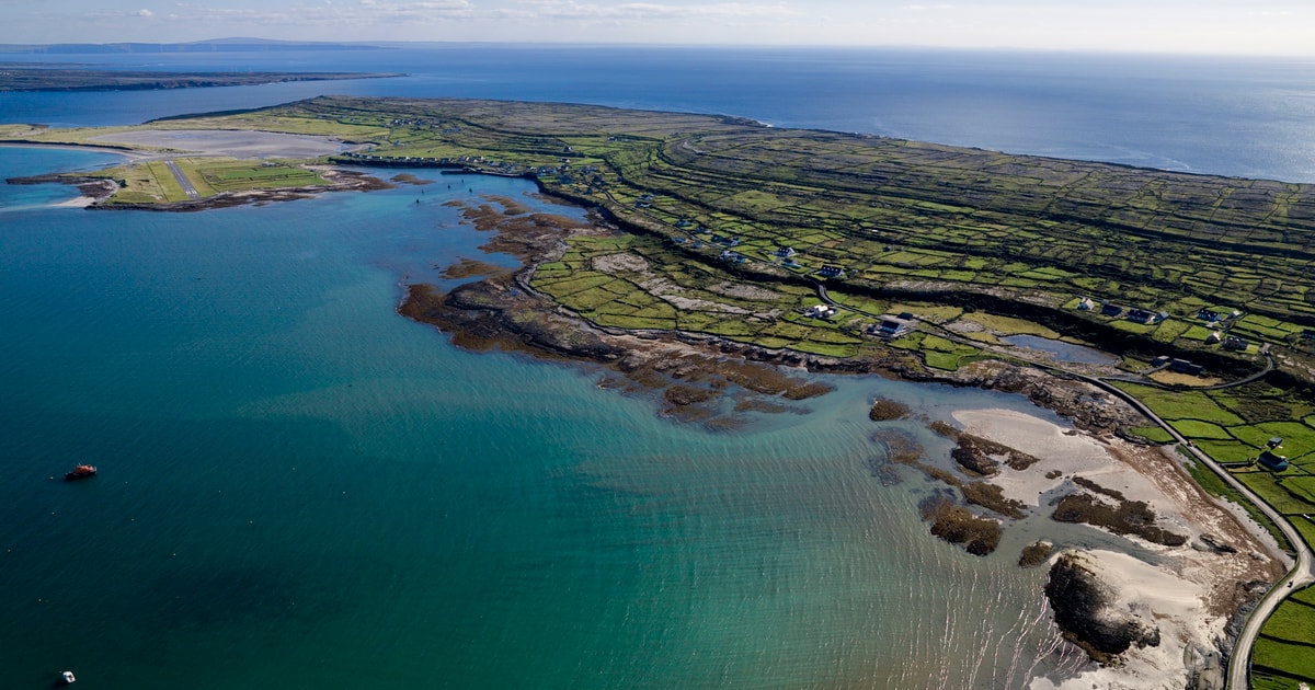 Beagh IslandWood · 1.5 mi
 Holly IslandIslet · 1.8 mi
 Kilmacduagh Monastic SiteVisitor information · 3.1 mi
 Kilmacduagh MonasteryHeritage attraction · 3.1 mi