
What is recorded here
Rincoolagh, County Longford. A rectangular enclosure aligned NE-SW, marked ‘Fort’ on the 1837 map but vanished from ground level by 1914. Whatever walls or ditches formed it, pasture and time erased them. The slope still faces southeast, holding warmth and forgetting the shape that once broke the wind.
On a gentle SE-facing slope in pasture. Depicted as the SW end of a rectangular enclosure, aligned NE–SW, on the 1937 and 1914 editions of the OS 6-inch map and designated ‘Fort’ on the 1837 edition. Not visible at ground level.
Compiled by: Patrick F. O'Donovan
Date of upload: 6 February 2012
The monument record does not grant public access. Check the route and ask the landowner before entering private land.
- What survives
- Recorded monument
Places near here
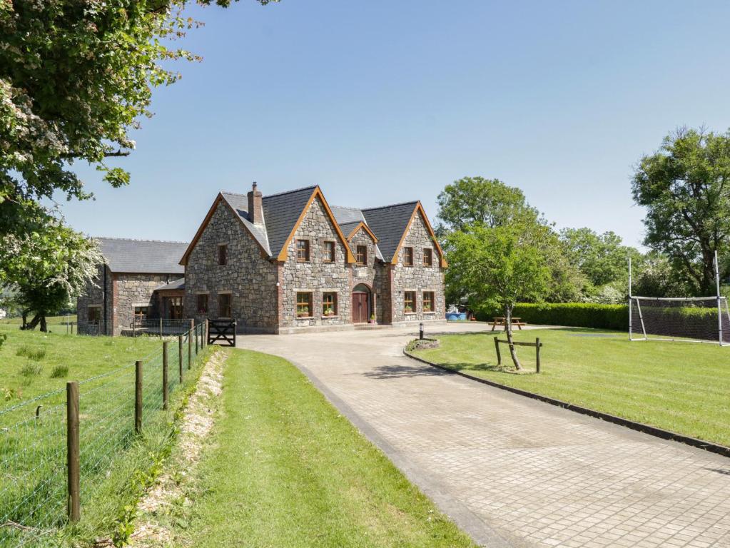 ToberreendoneyHoly well · 1351 yd
 Fairy fort / earthen ringfort in BallyboyFairy fort / earthen ringfort · 1557 yd
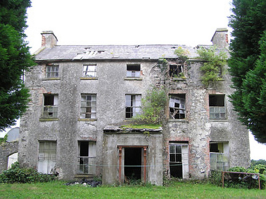 New Grovehouse · 1631 yd
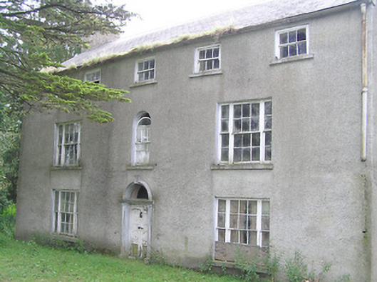 Killasona Housecountry house · 1.0 mi
 CastleCastle, motte · 2.0 mi
 Site of Castle NugentCastle, unclassified · 2.6 mi
 1798 Monumentmonument · 3.1 mi
 Granard MotteMotte-and-bailey castle remains · 3.1 mi
 CarrickMountain / peak · 4.0 mi
 Watty's RocksIslet · 4.2 mi
 CarrickabaneMountain / peak · 4.3 mi
 Sporting RockIslet · 4.5 mi
Other information
Photo: Credit not shown in the picture search · Rights wording not checked; contact us if this picture should be removed