What is recorded here
In pasture, on a low rise. A raised circular area (26m N-S) defined by a low earthen inner bank (Wth 1.5m; int. H 0.1m) along the W arc and by a scarp (H 1.8m) elsewhere. A dry flat-bottomed intervening fosse (Wth 4.3m) is evident all round. An outer earthen bank (Wth 3.6m; int. H 0.5m; ext. H 0.4m) is evident W-SSW, incorporated into a field boundary W-N. The interior has been quarried into in places, especially at NE and SW. An aerial photograph (IASAP, 3033072-3) shows remains of cultivation ridges crossing the N half of the interior on an E-W axis. There is another rath (SL032-129----) in the same field c. 50m to E.
The above description is derived from the published 'Archaeological Inventory of County Sligo' compiled by Ursula Egan, Elizabeth Byrne, Mary Sleeman with Sheila Ronan and Connie Murphy (Dublin Stationery Office, 2005).
Date of upload: 18 January 2008
The monument record does not grant public access. Check the route and ask the landowner before entering private land.
- What survives
- Recorded monument
Places near here
 Indicated (1838).Enclosure · 491 yd
 European ashEuropean ash · 986 yd
 IndicatedFairy fort / earthen ringfort · 992 yd
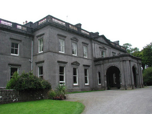 Temple Housecountry house · 1459 yd
 ElderElder · 1535 yd
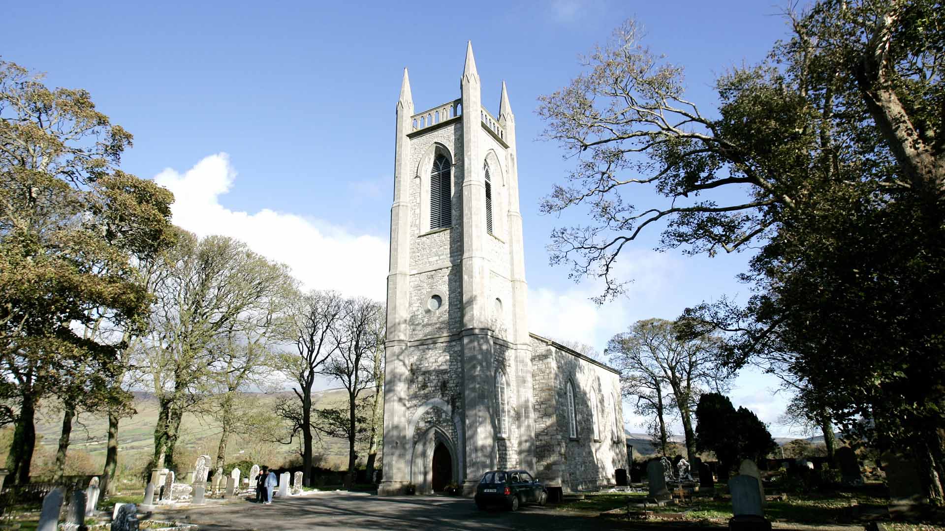 Church (in Ruins)Church · 1675 yd
 CastleCastle, unclassified · 2.1 mi
 RathdoonyCastle, motte · 2.9 mi
 Brother WalfridMemorial · 3.9 mi
 Tymon's HillMountain / peak · 4.1 mi
 Tullaghan HillMountain / peak · 4.9 mi
 James MorrisonMemorial · 6.5 mi