What is recorded here
Earthwork in Redwood (Dorrha parish) is an earthwork in Redwood (Dorrha parish), County Tipperary, Ireland. The 1843 first edition Ordnance Survey six-inch map marked a circular earthwork, possibly an enclosure, while the revised 1901 edition Ordnance Survey twenty-five-inch map depicted a roughly circular platform-type earthwork. The 2002 archaeological inventory recorded it on flat, poorly drained pasture with a bog to the north and a tower house to the west, but also recorded that it is not visible at ground level.
Situated on flat poorly drained pasture with a bog nearby to the N and a tower house (TN001-001001) to the W. Marked as a circular earthwork, possibly an enclosure on the 1843 ed. OS 6-inch map. Depicted as a roughly circular shaped platform-type earthwork on the revised 1901 ed. OS 25-inch map. Not visible at ground level.
The above description is derived from 'The Archaeological Inventory of County Tipperary. Vol. 1 - North Tipperary' compiled by Jean Farrelly and Caimin O'Brien (Dublin: Stationery Office, 2002). In certain instances the entries have been revised and updated in the light of recent research.
Date of upload/revision: 09 January 2012
The monument record does not grant public access. Check the route and ask the landowner before entering private land.
- What survives
- Recorded monument
Places near here
 Redwood CastleCastle · 617 yd
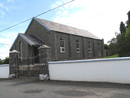 Catholic Church of the Holy Redeemerchurch/chapel · 1307 yd
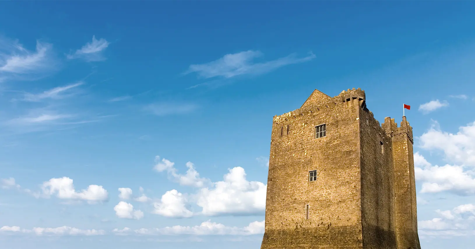 Enclosure in Redwood (lorrha Par.)Enclosure · 1335 yd
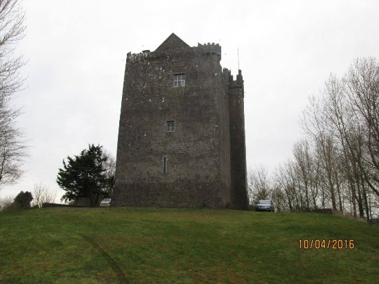 IndicatedEnclosure · 1446 yd
 Ballymacegan IslandIsland · 1.9 mi
 Friars IslandIsland · 2.1 mi
 Bonahum Church (in ruins)Church · 2.3 mi
 Cregg WoodForest · 2.8 mi
 Cloghan CastleCastle, tower house · 2.8 mi
 MeelickVisitor information · 3.0 mi
 Lumcloon WoodWood · 5.1 mi
 Slevoir BayBay · 5.5 mi