What is recorded here
On the summit of an NE-SW ridge between two river valleys, in pasture. A circular enclosure (diam. c. 7m) visible on satellite imagery (Google Earth satellite imagery, 20 January 2020), identified and reported by Jean-Charles Caillère.
See attached:
TS045-029----_01 Google Earth satellite image (imagery date, 20 January 2020
Compiled by: Jean Farrelly
Date of upload: 8 February 2022
The monument record does not grant public access. Check the route and ask the landowner before entering private land.
- What survives
- Recorded monument
Places near here
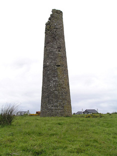 Hollyford Copper Mineschimney · 340 yd
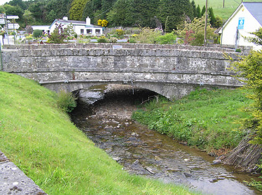 Hollyford Bridgebridge · 861 yd
 LackenacreenaMountain / peak · 1657 yd
 FalleennafinogaMountain / peak · 1.5 mi
 Partially indicatedEnclosure · 1.6 mi
 Enclosure in ReafaddaEnclosure · 1.6 mi
 Gortard WoodForest · 4.3 mi
 Shanaclogh CastleCastle, unclassified · 4.4 mi
 Ballysheeda Castle (in Ruins)Castle, tower house · 4.5 mi
 Drum WoodWood · 4.9 mi
 Slieve Felim WayWalking route · 9.7 mi
 ToberagaddySpring · 11 mi