What is recorded here
Magic and life are one. They never claimed separate chambers.
Site of a levelled fulacht fia described in 1987 by the 'Castleisland District Archaeological Survey' as follows; 'In wet pasture, the boundary of the field at NW is formed by the Clydagh River. The roughly horse-shoe shaped spread (dims. 10.7m NW-SE) of burnt black earth and burnt shattered red stone is clearly visible in the southwestern corner of this wet field of pasture. According to the landowner, the mound of burnt material had been 5 or 6 ft. [1.5-1.8m] high and had formed a horse, shoe shaped outline. He also informed us that a "hole" was revealed when the monument was levelled. It had been covered by 6 or 8 large stones. This may have been the site of the trough. The monument is bordered immediately on the southwest by a drain and a field fence' (SMR File).
Compiled by: Caimin O'Brien
Date of upload: 27 April 2022
The monument record does not grant public access. Check the route and ask the landowner before entering private land.
- What survives
- Recorded monument
Places near here
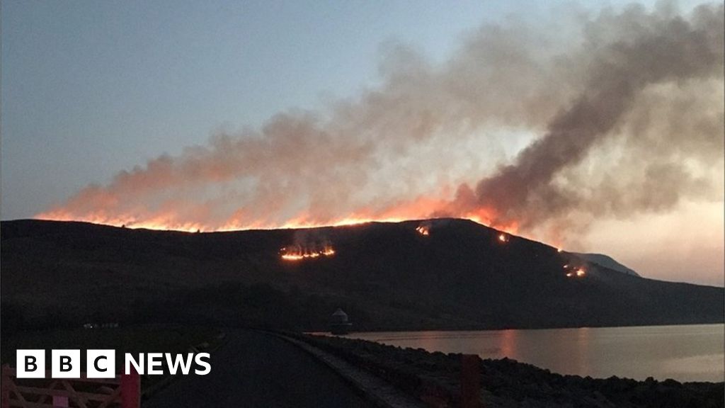 Burnt spread in Gneeves (trughanacmy By.)Burnt spread · 1533 yd
 (Site of) ChurchChurch · 1.7 mi
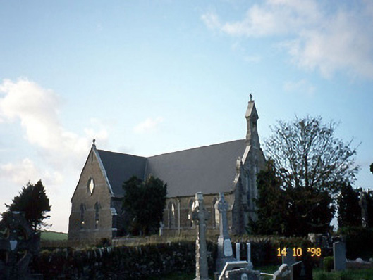 Saint Carthage's Catholic Churchchurch/chapel · 1.7 mi
 Mountcollins Bridgebridge · 2.7 mi
 Three CountiesPicnic place · 3.1 mi
 KnockateeMountain / peak · 3.6 mi
 Mount EagleMountain / peak · 4.0 mi
 Kilmurry CastleCastle · 5.7 mi
 Castle (in ruins)Castle, unclassified · 5.7 mi
 Crag CaveCave · 7.2 mi
 Barna BogForest · 9.8 mi
 Saint Ite's WellSpring · 11 mi