What is recorded here
Located on top of a broad, low hill, with the motte and bailey (ME044-034001-) c. 150m to the SSW. No trace of the medieval church structure (ME044-034003-) is extant within a rectangular graveyard (dims c. 70m NNE-SSW; c. 65m WNW-ESE) defined by masonry walls, apart from some dressed pieces from windows. The W wall of the old graveyard has been removed and the graveyard now extends off to the NW (dims c. 130m NW-SE; c. 80m NE-SW). Headstones in the old graveyard date mostly from c. 1750 to 1990. A graveslab of a knight (ME044-034005-) has been set into the church tower of the 19th century church on the S side. The graveyard cross (ME044-034006-) is in the graveyard. Archaeological testing (93E0055) by R. Meenan immediately S of the old graveyard produced no related material (excavations.ie: 1993:0181). Archaeological testing (14E0204) by Donald Murphy NE of the graveyard and c. 30m to the E at the closest point produced no related material (excavations.ie 2014:258), and further testing (15E0027) by J. Stirland just to the S had a similar result (excavations.ie 2015:105).
Compiled by: Michael Moore
Date of upload: 8 April, 2015
Amended: 25 March 2021, 26 May, 2021, 1 August 2023
This remains an important historical record, but the official description says the monument is no longer visible or has been destroyed. The monument record does not grant public access. Check the route and ask the landowner before entering private land.
- What survives
- No visible remains or recorded as destroyed
Places near here
 Holy Trinity Church (Ratoath)church/chapel · 25 yd
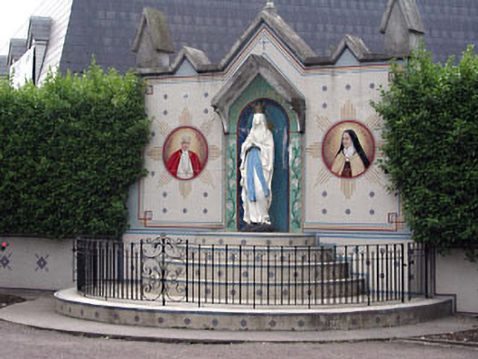 shrine/oratory/grottoshrine/oratory/grotto · 91 yd
 Font in RatoathFont · 136 yd
 MoatCastle, motte and bailey · 189 yd
 MotteArchaeological place · 190 yd
 CastleCastle, unclassified · 1.9 mi
 Lemur WoodWood · 2.5 mi
 Emerald ParkHeritage attraction · 2.6 mi
 AshbourneMemorial · 3.2 mi
 Cornstown HouseHeritage attraction · 3.6 mi
 Newtown HillMountain / peak · 3.7 mi
 Caulstown Christmas Tree FarmForest · 4.1 mi