What is recorded here
Fairy fort / earthen ringfort in Rathurles is a fairy fort or earthen ringfort in Rathurles, County Tipperary, Ireland. Its roughly circular area measures 28.4 metres north-south and 31 metres east-west on a northeast-facing pasture slope. A 4-metre earthen bank encloses it and is levelled at the north and east. The 2002 inventory records no visible entrance feature and says mature beech trees on the bank suggested later reuse as a tree-ring.
Situated on a NE-facing slope in rolling pastureland. A roughly circular area (diam. 28.4m N-S; 31m E-W) enclosed by an earthen bank (Wth 4m; int. and ext. H 1.13), levelled at N and E. No entrance feature visible. Mature beech trees on the bank suggest reuse as a tree-ring.
The above description is derived from 'The Archaeological Inventory of County Tipperary. Vol. 1 - North Tipperary' compiled by Jean Farrelly and Caimin O'Brien (Dublin: Stationery Office, 2002). In certain instances the entries have been revised and updated in the light of recent research.
Date of upload/revision: 22 September 2008
The monument record does not grant public access. Check the route and ask the landowner before entering private land.
- What survives
- Recorded monument
Places near here
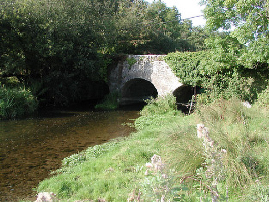 Rathurles Bridgebridge · 155 yd
 Rathurles CastleCastle · 348 yd
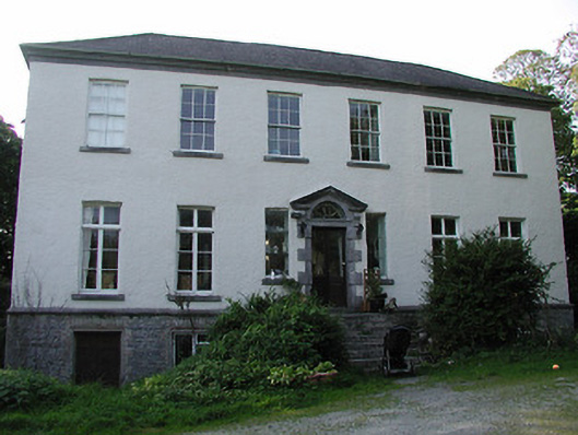 Rathurles Housecountry house · 547 yd
 RathfallaFairy fort / earthen ringfort · 729 yd
 RathurlesFairy fort / earthen ringfort · 841 yd
 Lisbunny CastleCastle, hall-house · 1527 yd
 James Devaney MemorialMemorial · 1.8 mi
 Old BarracksHeritage attraction · 2.2 mi
 Nenagh Heritage CentreMuseum · 2.4 mi
 Gibbet HillMountain / peak · 2.5 mi
 Ballycapple WoodForest · 4.2 mi
 Knigh HillMountain / peak · 4.9 mi