
What is recorded here
Rathurles is a fairy fort or earthen ringfort in Rathurles, County Tipperary, Ireland. Its roughly circular 55-metre area contains a fifteenth-century church. The enclosure has an inner bank largely reduced to a scarp, a 6-metre ditch, a walkway and a 6.5-metre outer ditch, with the outer bank levelled in the northeast. The central bank was probably backfilled into the inner ditch to form the walkway, which carries building foundations on its northern side.
Situated in undulating pastureland. A roughly circular area (diam. 55m N-S) defined by an inner bank largely reduced to a scarp, a fosse (Wth 6m), a berm or walkway and an outer fosse (Wth 6.5m; D c. 2.5m). The central bank was probably backfilled into the central fosse to provide the walkway which has the stone foundations of a building at N. A fifteenth-century church (TN021-012002) occupies the interior of the ringfort. The outer bank is levelled in the NE quadrant.
The above description is derived from 'The Archaeological Inventory of County Tipperary. Vol. 1 - North Tipperary' compiled by Jean Farrelly and Caimin O'Brien (Dublin: Stationery Office, 2002). In certain instances the entries have been revised and updated in the light of recent research.
Date of upload/revision: 22 September 2008
The monument record does not grant public access. Check the route and ask the landowner before entering private land.
- What survives
- Recorded monument
Places near here
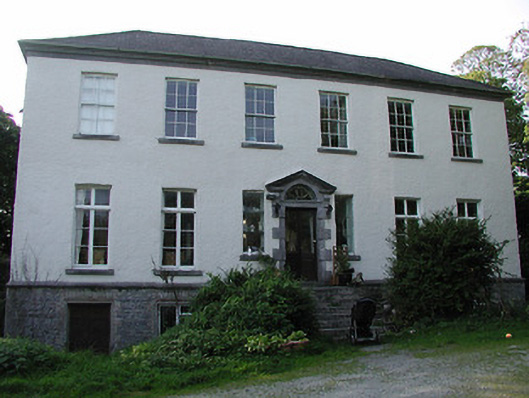 Rathurles Housecountry house · 343 yd
 Rathurles CastleCastle · 528 yd
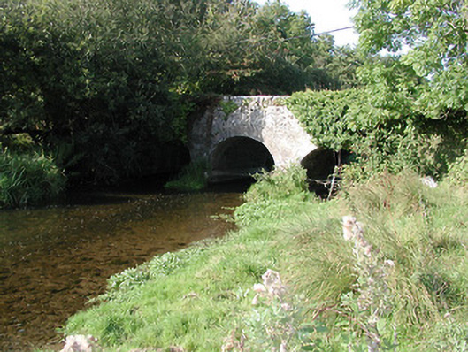 Rathurles Bridgebridge · 806 yd
 RathfallaFairy fort / earthen ringfort · 960 yd
 Shean FortsFairy fort / earthen ringfort · 1727 yd
 Lisbunny CastleCastle, hall-house · 1.2 mi
 James Devaney MemorialMemorial · 1.4 mi
 Old BarracksHeritage attraction · 2.4 mi
 Nenagh Heritage CentreMuseum · 2.7 mi
 Gibbet HillMountain / peak · 3.0 mi
 Ballycapple WoodForest · 3.7 mi
 Knigh HillMountain / peak · 4.7 mi
Other information
Photo: Credit not shown in the picture search · Rights wording not checked; contact us if this picture should be removed