What is recorded here
Fairy fort / earthen ringfort in Rathsallagh is a fairy fort or earthen ringfort in Rathsallagh, County Tipperary, Ireland. Its circular area measures 20 metres north to south and east to west. A 9.3-metre-wide inner earthen bank, reduced to a scarp in places, is separated from the outer bank by an intervening ditch 8.8 metres wide and up to 0.6 metres deep. The ditch and outer bank are truncated by the east-west field boundary on the northern side.
In level pasture. Circular area (dims. 20m N-S; 20m E-W Measurements taken from latest edition OS 6-inch map as overgrowth too dense) defined by inner earthen bank (Wth 9.3m; int. H 0.6m; ext. H 1.8m) reduced to scarp in places. Badgers set in exterior of inner bank at E. Intervening fosse (Wth 8.8m; D 0.4-0.6m) truncated by field boundary (long axis E-W) to N. Outer bank (Wth 4.6m; int. H 0.6m; ext. H 0.2m) NE-E-S-NW truncated by field boundary to N. Interior inaccessible due to impenetrable growth of thorn trees. Ringfort-rath (TS069-042----) located 220m to W.
Compiled by: Jean Farrelly
Date of upload: 26 August 2011
The monument record does not grant public access. Check the route and ask the landowner before entering private land.
- What survives
- Recorded monument
Places near here
 Enclosure in CastleblakeEnclosure · 682 yd
 Enclosure in RathsallaghEnclosure · 819 yd
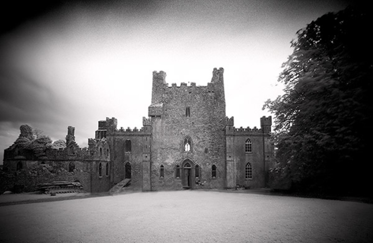 Castle Blake in ruinsCastle, tower house · 1507 yd
 Castle (Site of)Castle, unclassified · 1583 yd
 Church (in ruins)Church · 1.2 mi
 Kilbragh Church (in ruins)Church · 1.3 mi
 Pedunculate OakPedunculate Oak · 4.5 mi
 European YewEuropean Yew · 4.9 mi
 Cashel Folk MusuemMuseum · 5.1 mi
 The Rock Of CashelVisitor information · 5.3 mi
 Cormac's ChapelHeritage attraction · 5.3 mi
 Siege of Cahir Castlesiege · 7.6 mi