What is recorded here
Marked as a circular enclosure on the 1839 (ext. diam. c. 40m) and 1925 (ext. diam. c. 50m) eds of the OS 6-inch map and visible as a cropmark enclosure (diam. c. 30m) defined by a fosse feature with an entance gap at E on aerial photographs (MM (17) 19–20, 22). It is situated towards the bottom of a NE-facing slope with a NW-SE stream c. 60m to the NE. Nothing is visible at ground level in a cereal crop.
The above description is derived from the published 'Archaeological Inventory of County Wexford' (Dublin: Stationery Office, 1996). In certain instances the entries have been revised and updated in the light of recent research.
Compiled by: Michael Moore
Date of upload/revision: 22 May, 2012
The monument record does not grant public access. Check the route and ask the landowner before entering private land.
- What survives
- Recorded monument
Places near here
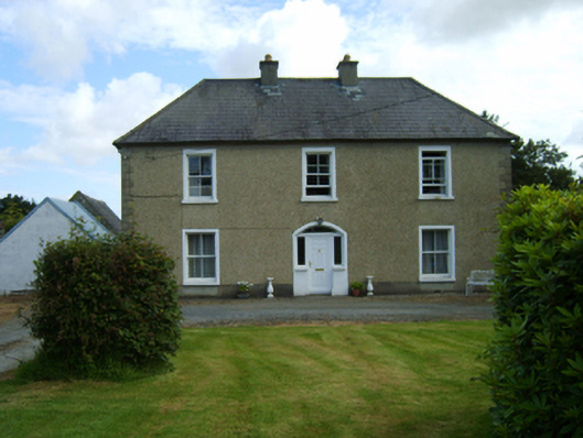 Rathnure Housefarm house · 341 yd
 IndicatedFairy fort / ringfort · 555 yd
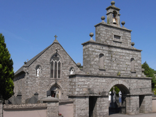 Saint Anne's Catholic Churchchurch/chapel · 936 yd
 Site of ChurchChurch · 1465 yd
 1798 MemorialMemorial · 1.5 mi
 Ruin of a small castleRuins · 2.3 mi
 SlievebaunMountain / peak · 2.8 mi
 White MountainMountain / peak · 3.7 mi
 Killoughrum ForestForest · 4.0 mi
 1798 RebellionMemorial · 4.9 mi
 Site of Warrens CastleCastle, unclassified · 5.5 mi
 Pedunculate OakPedunculate Oak · 6.8 mi