
What is recorded here
Rathneestin is a Castle Field in County Louth where Niselrath Castle stood before disappearing beneath grass and memory. A 1599 description claims a square castle, great bawne and surrounding dytche, yet no stone or ditch remains visible. The field may still hold the shape of that lost house beneath its soil, waiting for rain or plough to reveal what human hands forgot.
Field known locally as the 'Castle Field'. Reputedly the site of Niselrath Castle, a probable tower house, described in 1599 as 'a square castle and a great bawne with a good dytche rounde abowte it' (Paterson 1944, 321-2). No visible surface trace.
The above description is derived from both the published 'Archaeological Inventory of County Louth' (Dublin: Stationery Office, 1986) and the 'Archaeological Survey of County Louth' (Dublin: Stationery Office, 1991). In certain instances the entries have been revised and updated in the light of recent research.
Date of upload: 17 July 2007
Niselrath Castle, likely a tower house, was held in 1599 and is remembered for its described fortifications, including a square structure, a great bawn, and a surrounding ditch, indicating its defensive significance in the late 16th century.
The monument record does not grant public access. Check the route and ask the landowner before entering private land.
- What survives
- Recorded monument
Places near here
 Enclosure in RathneestinEnclosure · 418 yd
 Enclosure in Philipstown (ardee By., Philipstown Par.)Enclosure · 632 yd
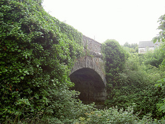 bridgebridge · 981 yd
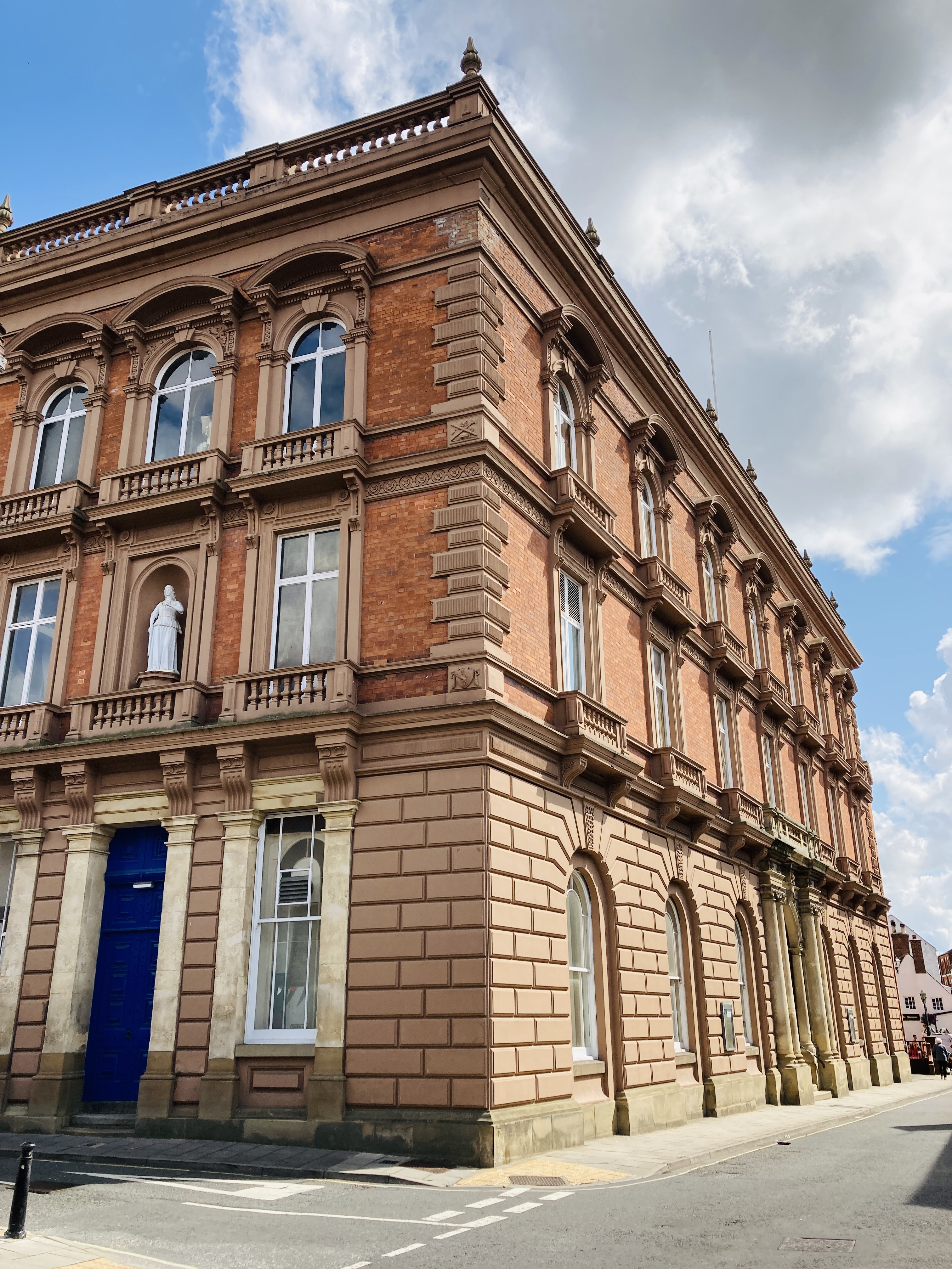 MoatCastle, motte and bailey · 1254 yd
 SycamoreSycamore · 1393 yd
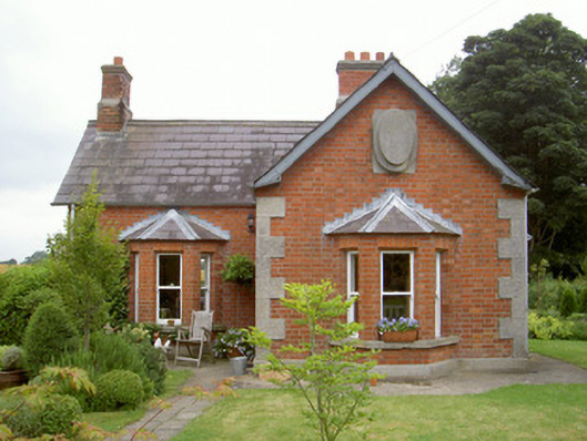 Knock Abbeygate lodge · 1425 yd
 European YewEuropean Yew · 1649 yd
 Thomastown CastleCastle, tower house · 1689 yd
:no_upscale()/cdn.vox-cdn.com/uploads/chorus_asset/file/25593391/County_Louth_6th.jpg) LouthMountain / peak · 1.7 mi
LouthMountain / peak · 1.7 mi Flat cemetery in AnnaheanFlat cemetery · 3.9 mi
 Sir Frederick Foster MemorialMemorial · 4.9 mi
 Matthew's HillMountain / peak · 5.1 mi
Other information
Photo: Credit not shown in the picture search · Rights wording not checked; contact us if this picture should be removed