
What is recorded here
The fairy fort or earthen ringfort in Rathmoylan is in County Waterford, Ireland. The 1999 inventory recorded an overgrown circular area, 30 to 40 metres across, at the edge of a north-facing scarp 35 metres from a stream. A low earthen bank, 3 metres wide and 0.35 metres high inside and out at the southeast, defined the circle. No visible ditch or entrance appeared there.
Located at the edge of a N-facing scarp overlooking and c. 35m distant from a N-S stream at the point where it turns W. This is an overgrown circular area (diam. c. 30-40m) defined by a low earthen bank (at SE: Wth 3m; int. and ext. H 0.35m). There is no visible fosse or entrance.
The above description is derived from the published 'Archaeological Inventory of County Waterford' (Dublin: Stationery Office, 1999). In certain instances the entries have been revised and updated in the light of recent research.
Compiled by: Michael Moore
Date of upload/revision: 10 June 2011
The monument record does not grant public access. Check the route and ask the landowner before entering private land.
- What survives
- Recorded monument
Places near here
 Church in ruinsChurch · 210 yd
 Field system in RathmoylanField system · 255 yd
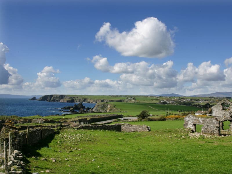 South East Coastal DriveVisitor information · 542 yd
 Man-made underground passage in KilmaquagueMan-made underground passage · 727 yd
 Portally-Rathmoylan Cliff WalkWalking route · 896 yd
 Rathmoylan CoveBeach / strand · 958 yd
 Portally CoveBeach / strand · 1291 yd
 Rathmoylan-Ballymacaw Cliff WalkWalking route · 1298 yd
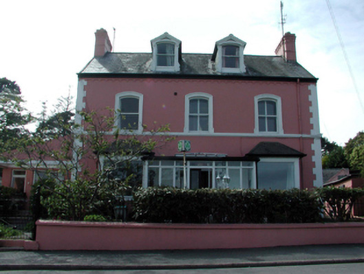 Tír na nÓghouse · 1.7 mi
 Lost at Sea Memorial WallMemorial · 1.8 mi
 Castle in ruinsCastle, Anglo-Norman masonry castle · 1.8 mi
 Main ForestWood · 2.0 mi
Other information
Photo: Credit not shown in the picture search · Rights wording not checked; contact us if this picture should be removed