What is recorded here
Nine feet west of the church wall, a man-cut tunnel still breathes under the grass. Stone sides and heavy flagstones built it for walking, not for roots, though no one now remembers whose legs first tired on its floor. The trench aligns toward the cashel, as if the village itself leaned underground to listen.
The site lies on the E slopes of Carrickgollogan. The OS Letters (1837) refer to an underground passage to the NW of Rathmichael Church (DU026-050001-) (O'Flanagan 1927, 40). It is described as having stone sides and being covered with large flagstones. O'Brien (1988) has suggested a location c. 30m NW of the church where a wide trench (now covered) can be traced for a distance (L 7m) extending towards the cashel wall.
Compiled by: Geraldine Stout and Padraig Clancy.
Revised upload on: 15 April 2018.
The monument record does not grant public access. Check the route and ask the landowner before entering private land.
- What survives
- Recorded monument
Places near here
 Rathmichael ChurchChurch · 29 yd
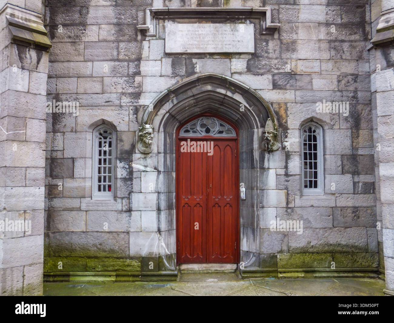 Ecclesiastical enclosure in RathmichaelEcclesiastical enclosure · 60 yd
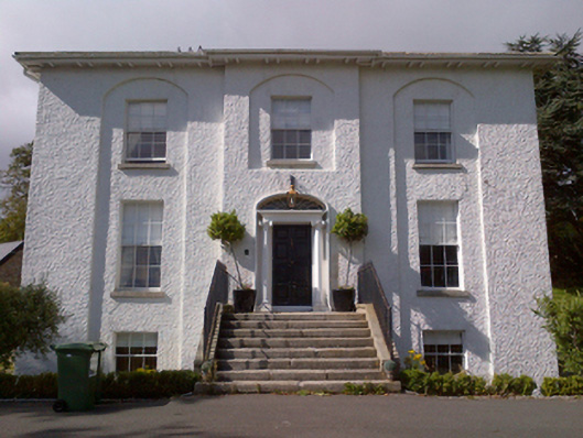 Shankill Housecountry house · 345 yd
 Cross (present location) in ShankillCross (present location) · 483 yd
 Rathmichael WalkWalking route · 501 yd
 Bawn in RathmichaelBawn · 660 yd
 Puck's CastleCastle · 665 yd
 Dublin Mountains Way Trailhead SignVisitor information · 1643 yd
 Loughlinstown WoodsNature reserve · 1.1 mi
 Carrickgollogan HillMountain / peak · 1.2 mi
 Monterey CypressMonterey Cypress · 1.4 mi
 Michael DavittMemorial · 1.6 mi