What is recorded here
This graveslab (L. 1.05m x Wth 0.6m) is a Rathdown-type slab bearing one large cup-mark and faint traces of vertical and horizontal lines. It has been secured to external face of the S wall close to the SE angle of Rathmichael Church (DU026-050002-) (Ó hÉailidhe 1957, 78, 79). The church lies on the E slopes of Carrickgollogan.
See attached drawing of graveslab taken from Healy 2009, 90.
To see a 3D model of this stone visit https://skfb.ly/oH8xt
Compiled by: Geraldine Stout and Padraig Clancy
Revised by: Caimin O'Brien
Date of revised upload: 17 May 2023
Rathmichael graveslab is a Neolithic Rathdown-type stone, dating to approximately 2500–2000 BCE. Its cup-mark and linear engravings reflect early ritual or symbolic practices associated with megalithic tombs in the Dublin region.
The monument record does not grant public access. Check the route and ask the landowner before entering private land.
- What survives
- Recorded monument
Places near here
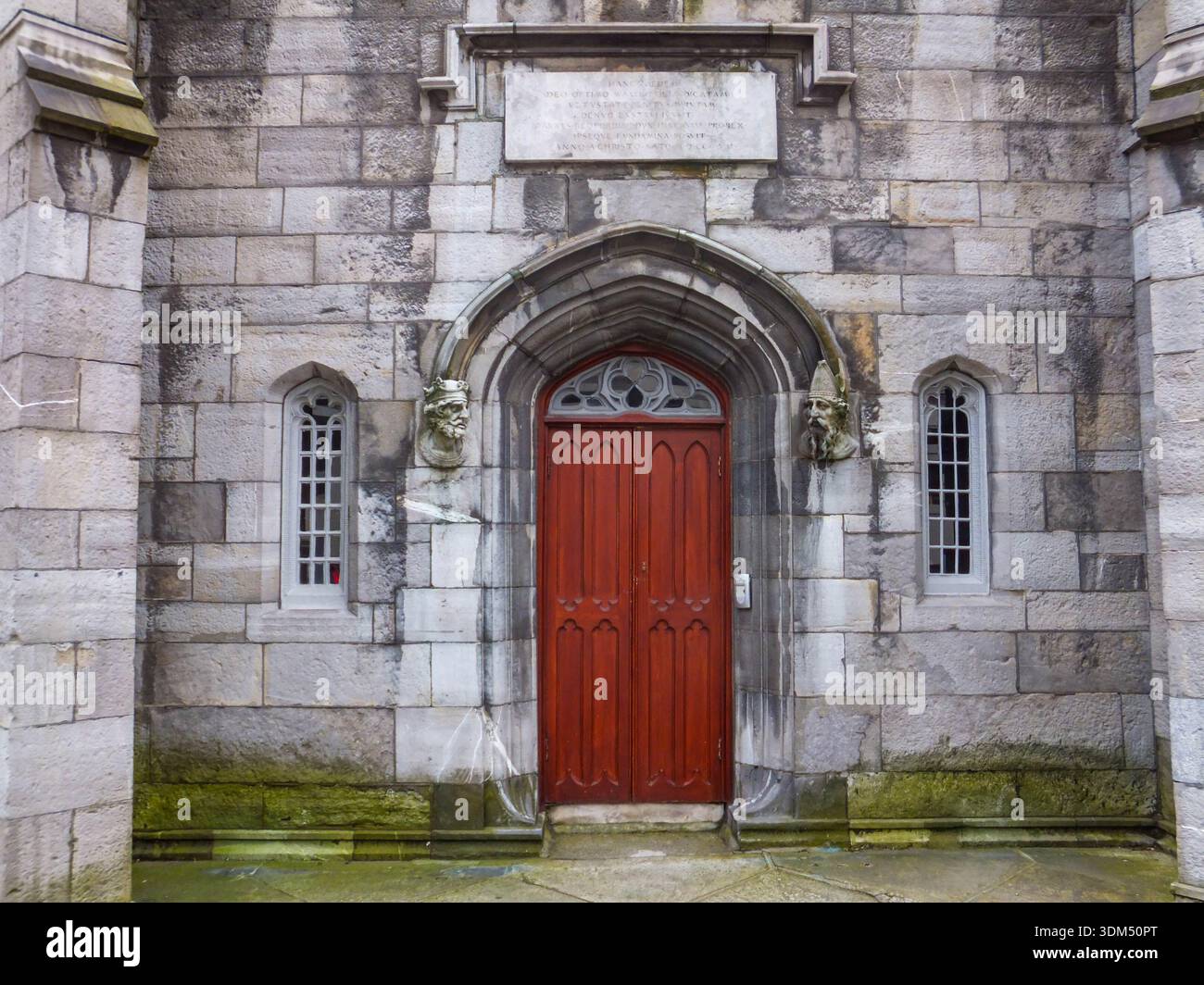
 Rathmichael ChurchChurch · 7 yd
 Ecclesiastical enclosure in RathmichaelEcclesiastical enclosure · 78 yd
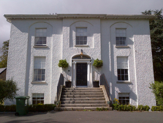 Shankill Housecountry house · 310 yd
 Cross (present location) in ShankillCross (present location) · 455 yd
 Rathmichael WalkWalking route · 510 yd
 Bawn in RathmichaelBawn · 688 yd
 Puck's CastleCastle · 694 yd
 Dublin Mountains Way Trailhead SignVisitor information · 1607 yd
 Loughlinstown WoodsNature reserve · 1.1 mi
 Carrickgollogan HillMountain / peak · 1.2 mi
 Monterey CypressMonterey Cypress · 1.4 mi
 Michael DavittMemorial · 1.6 mi