What is recorded here
Indicated stands on a Mayo ridge as a faded twenty-metre circle, visible only when grass grows short enough to reveal its ghost line. It watched the sky in every direction before ploughs and patience erased its wall. A holy well waits one hundred and sixty metres south, holding water for whoever still believes the land remembers shape.
In pasture, located on top of an E–W ridge, with good views in all directions.
This enclosure is shown as a circular, ringfort-sized enclosure on the 1838 and 1930 OS 6-inch maps. It has been levelled, but the outline of a slightly raised, roughly circular area (diam. c. 20m) can still be discerned.
There is a holy well (MA030-092001-) 160m to S.
Compiled by: Jane O'Shaughnessy
Date of upload: 12 April 2018
The monument record does not grant public access. Check the route and ask the landowner before entering private land.
- What survives
- Recorded monument
Places near here
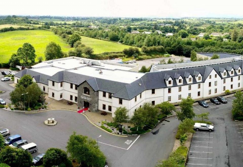 RathnabartHilltop enclosure · 726 yd
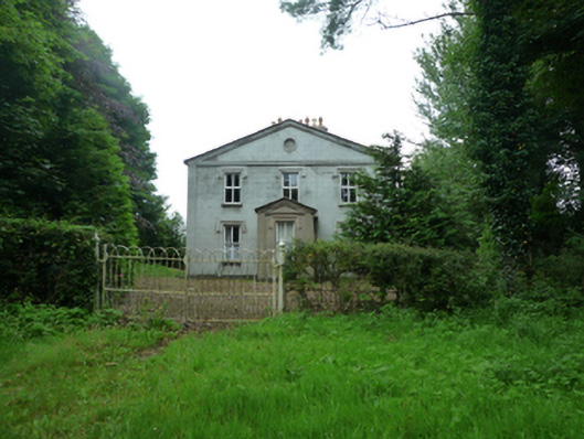 Thornfieldhouse · 955 yd
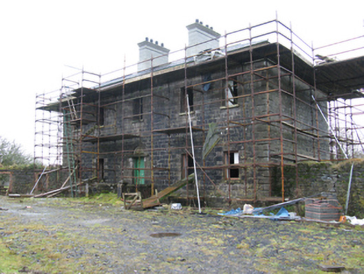 Ballybroony Housecountry house · 1636 yd
 TobernasoolHoly well · 1.3 mi
 Ballinteean CastleCastle · 1.8 mi
 Bawn in FarraghBawn · 2.4 mi
 Battle of Killalabattle · 3.9 mi
 Battlefields of MoyneBattlefield · 3.9 mi
 Rinphilip PointHeadland · 4.0 mi
 Moyne AbbeyHeritage attraction · 4.0 mi
 Gortabradawn PointHeadland · 4.1 mi
 Belleek WoodsWood · 4.2 mi