
What is recorded here
In lowlying, average pasture, close to the junction of two field boundaries.
This holy well is named ‘Tobernasool’ on the 1838 and 1929 OS 6-inch maps. Patterns were held here in the past, but the well is now no longer visited (Pers. comm. Jim Gilvarry 1888). It consists of a pool (c. 4m E–W; c. 3m N–S; D c. 0.7m) of stagnant water, bordered on the E side by a kerb of stones, with two stone steps giving access to the water. There is a rath (MA022-058----) 290m to ENE.
Compiled by: Jane O’Shaughnessy
Date of upload: 2 May 2019
Tobernasool is associated with Saint Sool, a lesser-known early Irish saint, and was historically visited for its supposed curative properties, particularly for skin ailments. Pattern days held at the well included prayers, processions, and offerings, reflecting a blend of Christian and pre-Christian traditions.
The monument record does not grant public access. Check the route and ask the landowner before entering private land.
- What survives
- Recorded monument
Places near here
 IndicatedFairy fort / earthen ringfort · 354 yd
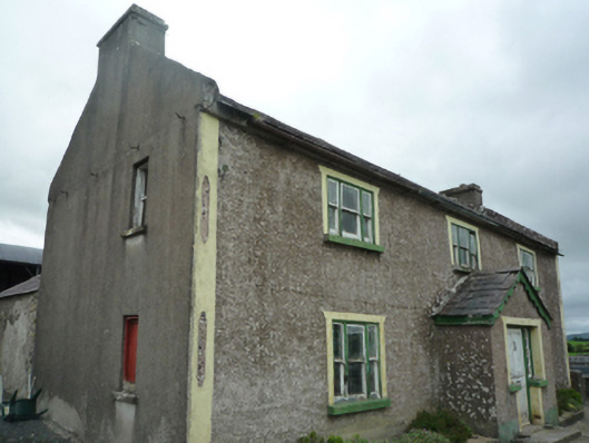 Foxboroughfarm house · 548 yd
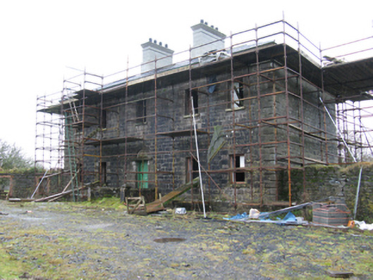 Ballybroony Housecountry house · 1105 yd
 TobernamoltHoly well · 1714 yd
 Bawn in FarraghBawn · 1.0 mi
 Ballinteean CastleCastle · 1.2 mi
 Battle of Killalabattle · 2.7 mi
 Green IslandIslet · 3.1 mi
 Battlefields of MoyneBattlefield · 3.1 mi
 Moyne AbbeyHeritage attraction · 3.4 mi
 Gortabradawn PointHeadland · 3.7 mi
 Rinnaun PointHeadland · 3.7 mi
Other information
Photo: Credit not shown in the picture search · Rights wording not checked; contact us if this picture should be removed