What is recorded here
Fairy fort / earthen ringfort in Rathganny is a fairy fort or earthen ringfort in Rathganny, County Westmeath, Ireland. Situated on a slight natural rise surrounded by gently undulating grassland, the site features a sub-circular area with an approximate diameter of 32 metres from north to south. This area is enclosed by a poorly preserved earthen bank and a slight external fosse, with the bank showing several disturbance gaps and the fosse almost completely filled up. Traces of cultivation ridges are visible running northeast to southwest across the interior of the monument.
Situated on top of a slight natural rise surrounded by gently undulating grassland with good views all around. Ringfort (WM011-033----) 160m to NE. A sub-circular shaped area (approx. diam. 32m N-S) enclosed by a poorly preserved earthen bank with a slight external fosse. The bank has several disturbance gaps, and the fosse is almost completely filled up. Traces of cultivation ridges are visible running NE-SW across the interior of the monument. A post 1837 field fence runs NW-SE immediately outside the SW side of the site.
See attached profile of monument surveyed and drawn by the ASI.
Compiled by: Frank Coyne and Caimin O'Brien
Date of upload: 15 June 2017
The monument record does not grant public access. Check the route and ask the landowner before entering private land.
- What survives
- Recorded monument
Places near here
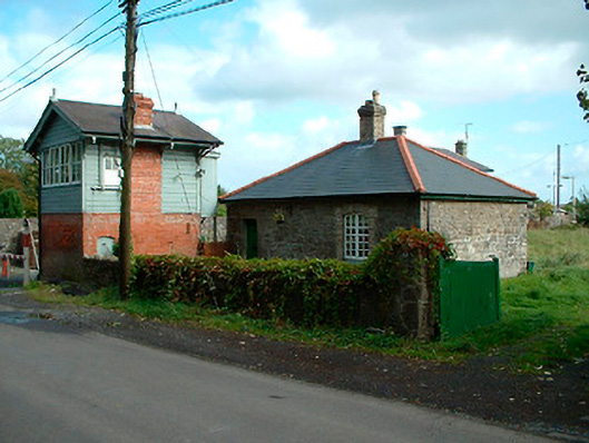 Multyfarnham Railway Stationworker's house · 269 yd
 Rathganny Houseoutbuilding · 326 yd
 CastleCastle, unclassified · 1039 yd
 Partially indicatedFairy fort / earthen ringfort · 1335 yd
 ConventEcclesiastical site · 1497 yd
 Bridge Memorial (Kenna)Memorial · 1624 yd
 Carrick CastleCastle · 1.5 mi
 Carrickphilbin IslandIslet · 3.6 mi
 Srudarra IslandIslet · 4.0 mi
 Baronstown ForestWood · 4.4 mi
 Horse-chestnutHorse-chestnut · 4.5 mi
 Rock of CurryCliff · 8.5 mi