What is recorded here
Oultined is a square graveyard in Rathdowney town where a Church of Ireland building stands among headstones placed after 1700. It may occupy the heart of an older medieval burial ground that reached across the road and held a ringwork within its bounds. The place layers lives and losses beneath a town still passing above it.
In Rathdowney town. All visible headstones are post 1700 AD. Square shaped graveyard (int. dims. 41m N-S; 59m E-W) enclosed by a stone wall as indicated on current edition of the OS 6-inch map. C of I church in centre of graveyard, this church may have been built on the site of an earlier medieval church (LA028-055001-). The medieval graveyard may have extended northwards across the public road and into the properties to the NE of the church. Possible ringwork (LA028-055003-) may have been situated within the grounds of this medieval graveyard.
The above description is derived from the published 'Archaeological Inventory of County Laois' (Dublin Stationery Office, 1995) compiled by P. David Sweetman, Olive Alcock and Bernie Moran. In certain instances the entries have been revised and updated in the light of recent research.
Date of upload: 17 December 2007
The monument record does not grant public access. Check the route and ask the landowner before entering private land.
- What survives
- Recorded monument
Places near here
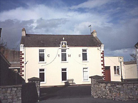 Rathdowney Christian Young Mens' Societyschool · 6 yd
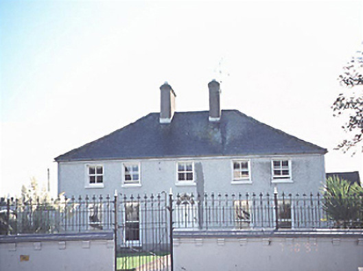 rectory/glebe/vicarage/curate's houserectory/glebe/vicarage/curate's house · 54 yd
 Donaghmore Castle ruinsCastle · 1487 yd
 Enclosure in Coolnaboul WestEnclosure · 1707 yd
 Enclosure in CreelaghEnclosure · 1.0 mi
 CastleCastle, ringwork · 1.1 mi
 Big WoodWood · 3.6 mi
 Cnoc SeanrathaMemorial · 3.9 mi
 European PearEuropean Pear · 4.8 mi
 DelaneyMemorial · 7.4 mi
 Anker's IslandIsland · 9.8 mi
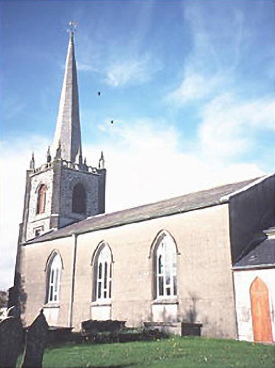 Saint Andrew's Church (Rathdowney)church/chapel · 72 yd