What is recorded here
Rathcobane held two circular fortresses, but ploughs and time erased their rims. The largest measured forty metres across on an east-facing slope, large enough for a family, a herd, and every argument about who owned the land. Its name still claims the fairies, though no fairy has answered in Rathcobane since the fort disappeared under grass and forgetting.
On ESE-facing slope. Shown on 1842 OS 6-inch map as circular enclosure (diam. c.40m) cut by NE-SW field fence; arc to N hachured, arc to S represented by dotted line. Arc of hachures also shown on 1904 and 1936 OS 6-inch maps. Levelled; no visible surface trace. Another levelled enclosure (CO054-078---) c. 120m to SW.
The above description is derived from the published 'Archaeological Inventory of County Cork. Volume 2: East and South Cork' (Dublin: Stationery Office, 1994). In certain instances the entries have been revised and updated in the light of recent research.
Date of upload/revision: 14 January 2009
The monument record does not grant public access. Check the route and ask the landowner before entering private land.
- What survives
- Recorded monument
Places near here
 Seanna Chill (Site of)Church · 436 yd
 IndicatedEnclosure · 657 yd
 Court (site of )Castle, unclassified · 1084 yd
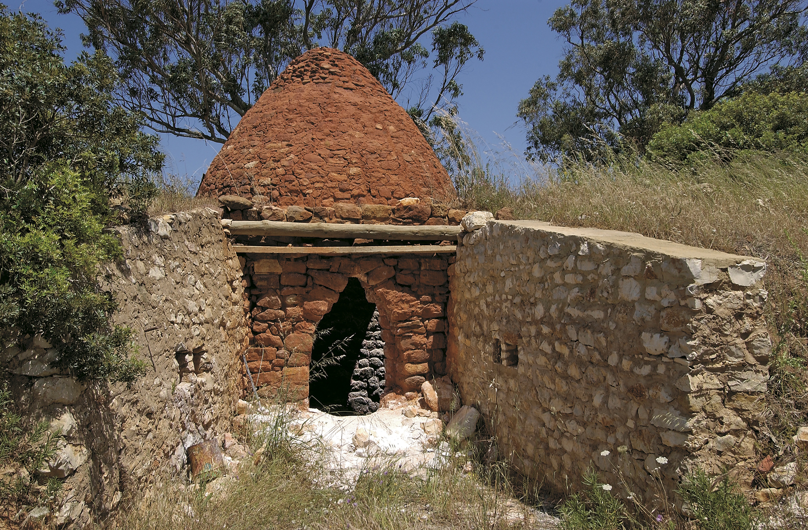 KilnKiln, lime · 1116 yd
 Caherduggan Housecountry house · 1154 yd
 Monananig WoodsWood · 2.1 mi
 Moanbaun ForestForest · 2.8 mi
 Devonshire's HillMountain / peak · 2.8 mi
 Leamlara Castle (in Ruins)Castle, tower house · 3.0 mi
 Rathcormac massacremassacre · 3.3 mi
 Graveyard in KillasseraghGraveyard · 4.6 mi
 Graveyard in Broomfield WestGraveyard · 5.4 mi