What is recorded here
Half a kilometre east of the Mungret River, a shallow circle of soil once held a home, a pen or a boundary now lost beneath pasture and rain. The ringfort nearby still stands, but this smaller mark has faded until only shadow and memory remain. What it enclosed is no longer certain, yet the land keeps the shape of human intention even when witness and name have gone.
In improved pasture 130m W of a watercourse that marks the townland boundary with Ballinrea. Ringfort (LI039-033----) lies 250m to NE. Not depicted on OSi historic maps. Identified by Bruff aerial photographic survey in 1986 (Bruff 32; AP 5/2063) as a possible enclosure. No surface remains visible on OSi orthophoto taken between 2005-12. Faint traces of cropmark of small circular feature visible on Google Earth orthoimages.
See attached Bruff aerial photographs (32) and Google Earth orthoimages.
Compiled by: Martin Fitzpatrick
Date of upload: 11 May 2021
The monument record does not grant public access. Check the route and ask the landowner before entering private land.
- What survives
- Recorded monument
Places near here
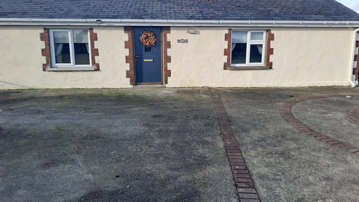 CaheradrominFairy fort / earthen ringfort · 307 yd
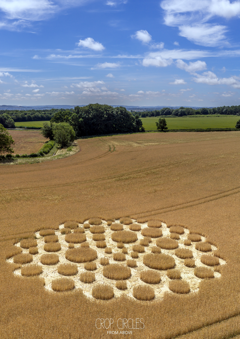 Earthwork in BallingayrourEarthwork · 541 yd
 OutlinedBawn · 1.1 mi
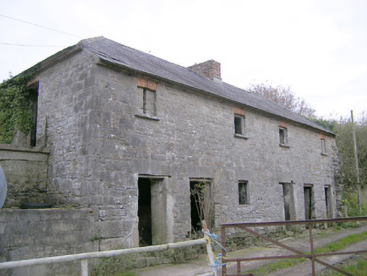 Camas Houseoutbuilding, bridge · 1.1 mi
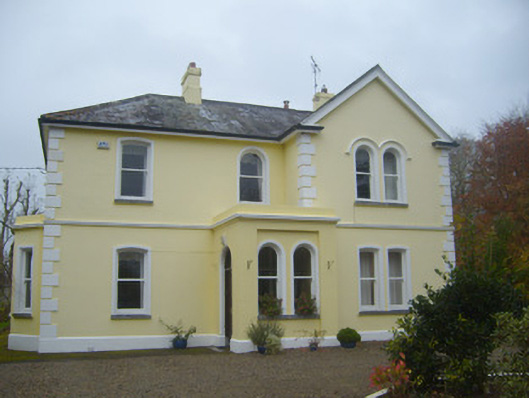 Cherbury Housesurgery/clinic · 1.8 mi
 Castle (in ruins)Castle, unclassified · 1.9 mi
 Lough GurVisitor information · 3.9 mi
 Grange Stone CircleArchaeological place · 3.9 mi
 Pedunculate OakPedunculate Oak · 4.8 mi
 Lough Gur Heritage CentreVisitor information · 5.0 mi
 KnockainyMountain / peak · 5.0 mi
 European ashEuropean ash · 5.7 mi