
What is recorded here
Not inidicated is a fairy fort in County Meath, Ireland. It is a circular grass-covered area on a hillock, measuring 24 metres across, with a slight dome and a surrounding scarp. No entrance is visible, though the eastern edge shows old quarry marks. The fort has no human name recorded, only shape and silence. It may have belonged to nobody at all, or to everyone who refused to point at it.
Situated on a hillock in an undulating landscape. This is a circular grass-covered and slightly domed area (diam. 24m NNW-SSE; 22.5m E-W) defined by an external scarp (at N: Wth 2m; H 1m; at S: Wth 4m; H 1.8m) and berm (Wth 1.2-2.2m). The perimeter is slightly quarried at E but an original entrance is not identified.
The above description is derived from the published 'Archaeological Inventory of County Meath' (Dublin: Stationery Office, 1987). In certain instances the entries have been revised and updated in the light of recent research.
Compiled by: Michael Moore
Date of revision: 11 January 2019
The monument record does not grant public access. Check the route and ask the landowner before entering private land.
- What survives
- Recorded monument
Places near here
 IndicatedFairy fort / earthen ringfort · 680 yd
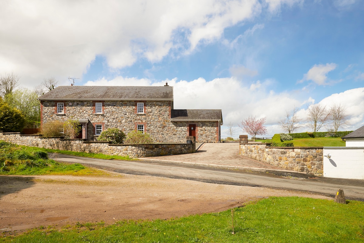 Enclosure in BoherardEnclosure · 835 yd
 MoatCastle, motte and bailey · 1572 yd
 European ashEuropean ash · 1639 yd
 CastleCastle, unclassified · 1640 yd
 Church (in Ruins)Church · 1689 yd
 Corn MillMill, unclassified · 1709 yd
 Bradley's WoodWood · 1.5 mi
 Kells HillMountain / peak · 2.1 mi
 The Sloe HillMountain / peak · 2.8 mi
 Zip WireHeritage attraction · 5.3 mi
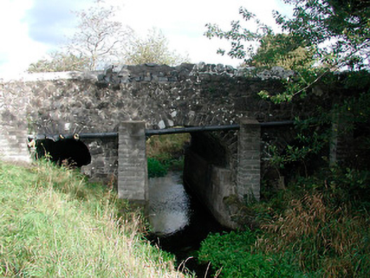 Graulty's Bridgebridge · 1.3 mi
Other information
Photo: Credit not shown in the picture search · Rights wording not checked; contact us if this picture should be removed