What is recorded here
Rathbane sits on gently rising land west of the River Goul, where rolling grassland still catches light from every direction. A ringfort once stood there, marked on old Grand Jury Maps but erased from the ground itself. The enclosure vanished not through destruction but through time, soil and forgetting. What remains is a place that remembers being held, shaped and owned, even though nothing visible now admits it.
On gently rising land to W of the River Goul in rolling grassland. Good views in all directions. There is a ringfort indicated at this location on the Grand Jury Maps. It is not visible at ground level.
Compiled by: Jean Farrelly
Date of upload: 2 February 2016
The monument record does not grant public access. Check the route and ask the landowner before entering private land.
- What survives
- Recorded monument
Places near here
 Moneynamuck Ringfort (rath)Archaeological place · 505 yd
 RathbaneConcentric enclosure · 771 yd
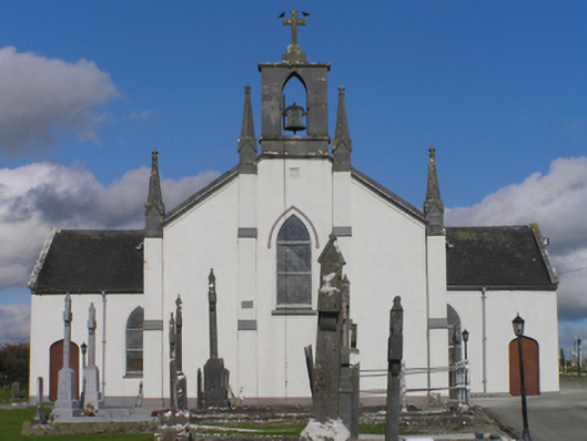 Catholic Church of the Immaculate Conceptionchurch/chapel · 1318 yd
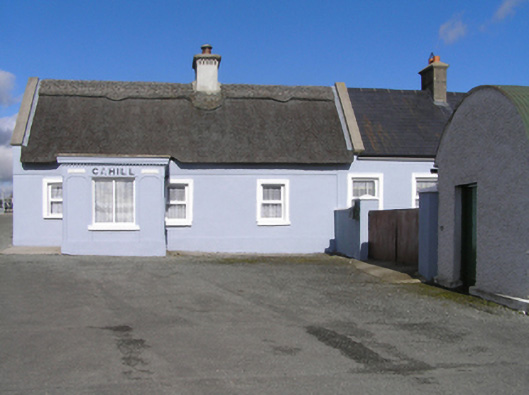 Cahillhouse · 1409 yd
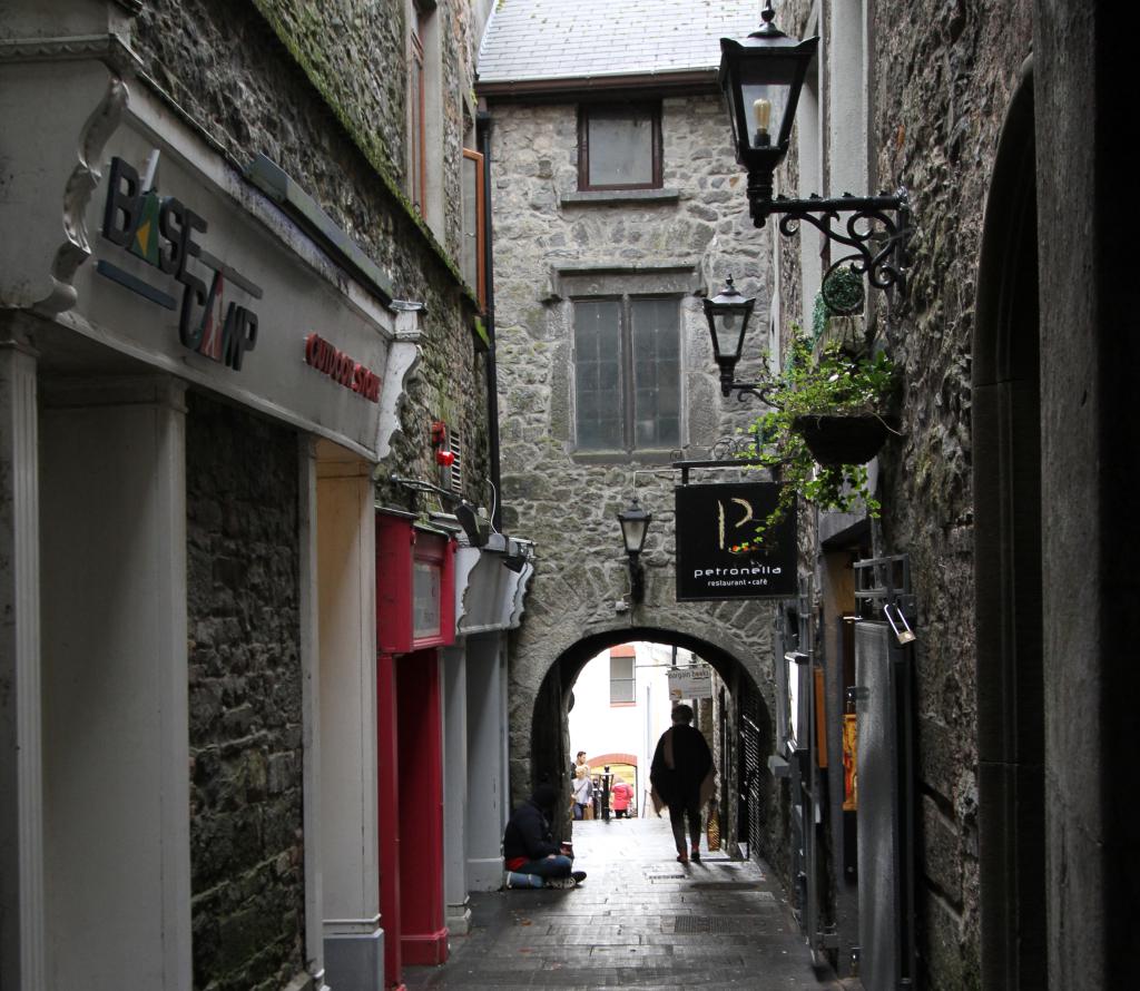 Bawn in WhiteswallBawn · 1.3 mi
 Cnoc SeanrathaMemorial · 1.5 mi
 Grangefertagh Castle (site)Archaeological place · 1.5 mi
 Street fieldArchaeological place · 2.0 mi
 DelaneyMemorial · 3.7 mi
 Big WoodWood · 4.3 mi
 Clomantagh HillMountain / peak · 4.8 mi
 Anker's IslandIsland · 8.3 mi