What is recorded here
Indicated is a circular earthen fort on a narrow Mayo ridge, large enough for a small household but exposed enough to watch every approaching valley. Sheep have bitten the bank into gaps and a field fence cuts across its northern edge, yet hawthorn still rings the rampart like a living guard. The fort may have belonged to a farmer, a priest or a forgotten chief, but its shape remains clear: a round room built to face the sky and keep the dark at a distance.
In average pasture, located on top of a narrow N–S ridge, which provides extensive views in all directions. The E-facing slope of the ridge falls into a small valley with a stream that skirts the ridge at E−SW.
Slightly raised, circular area (30m N–S; c. 30m E–W) defined by an earthen bank (Wth 4.8m at N, 4.6m at S; int. H 0.75m at N, 0.4m at S; ext. H 1.6m at N, 1.4m at S). A section of the bank at NE–SE has been levelled and is now evident as a slight scarp or undulation. It seems likely that the original entrance was on this side. There are numerous narrow breaks, eroded by farm stock, around the circuit, with the largest break (Wth 2m) at SSW. The interior is level. There is a field fence, on an E–W axis, immediately to N of the rath. The bank is ringed with hawthorn bushes.
Compiled by: Jane O'Shaughnessy
Date of upload: 12 April 2018
The monument record does not grant public access. Check the route and ask the landowner before entering private land.
- What survives
- Recorded monument
Places near here
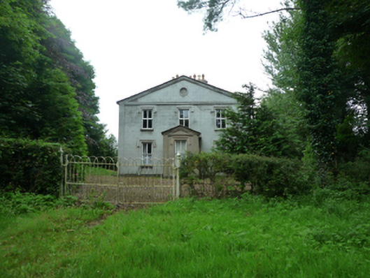 Thornfieldhouse · 1047 yd
 Rappa CastleHouse, 16th/17th century · 1306 yd
 IndicatedFairy fort / earthen ringfort · 1725 yd
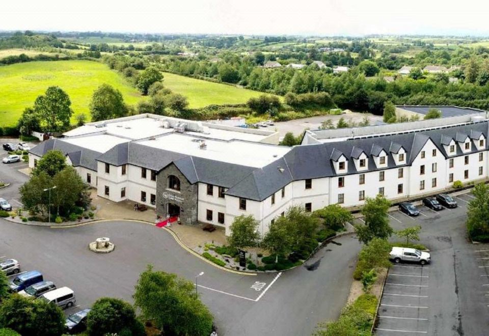 RathnabartHilltop enclosure · 1.2 mi
 Ballinteean CastleCastle · 2.4 mi
 Deel CastleCastle · 2.6 mi
 Battle of Ballinabattle · 3.3 mi
 Belleek WoodsWood · 3.6 mi
 Rinphilip PointHeadland · 3.7 mi
 FloretteWreck · 3.8 mi
 Gortabradawn PointHeadland · 4.3 mi
 Moyne AbbeyHeritage attraction · 4.5 mi