
What is recorded here
In gently undulating pasture, located on a rise with a fall of ground to SW, overlooking an expanse of lowlying grassland.
Shown on the 1838 and 1930 edition OS 6-inch maps as an oval enclosure (c. 50m N−S; c. 40m E−W), covered with trees. The hachuring on the 1930 edition depicts an enclosing fosse. This enclosure has been levelled; the faint contours of a broadly oval rise (c. 24m E-W; c. 30m N-S), sloping slightly to SE, can be discerned at ground level. In current aerial views, a vegetation mark can be seen defining a roughly circular area (diam. 40-45m), truncated on the W side by a N−S field fence.
It is located on the former demesne land of Rappa Castle (MA030-019----). There is a burial ground (MA030-021----) 260m to SE.
Compiled by: Jane O'Shaughnessy
Date of upload: 12 April 2018
The monument record does not grant public access. Check the route and ask the landowner before entering private land.
- What survives
- Recorded monument
Places near here
 Rappa CastleHouse, 16th/17th century · 506 yd
 RathnamuffFairy fort / earthen ringfort · 1135 yd
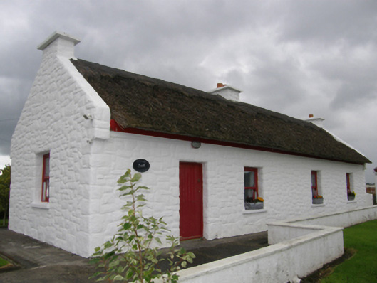 Kelly's Cottagehouse · 1489 yd
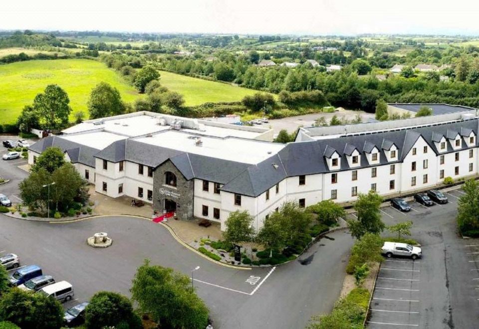 RathnabartHilltop enclosure · 1.6 mi
 Deel CastleCastle · 1.8 mi
 CastleCastle, tower house · 2.0 mi
 Battle of Ballinabattle · 3.8 mi
 Belleek WoodsWood · 4.3 mi
 FloretteWreck · 4.6 mi
 Rinphilip PointHeadland · 4.6 mi
 Castle IslandIslet · 5.0 mi
 Roe IslandIslet · 5.0 mi
Other information
Photo: Credit not shown in the picture search · Rights wording not checked; contact us if this picture should be removed