What is recorded here
Drumharriff holds a rath and a possible underground passage, marking the kind of hidden depth people have long suspected beneath ordinary Irish ground. The official label hedges because the earth keeps part of its answer back. A fortress, a shelter, a smuggler's cut or a forgotten way of moving through rain and dark could all fit the shape. That uncertainty does not weaken the place; it completes it.
The official Northern Ireland record identifies this as RATH & possible Man-made underground passage. Recorded period: E.CHRIST.. The official map point was placed at the centre of the recorded archaeological site from the source map reference.
The monument record does not grant public access. Check the route and ask the landowner before entering private land.
- What survives
- Recorded monument
Places near here
 St. Luke's ChurchChurch · 1698 yd
 ENCLOSURE in Creggan UpperENCLOSURE · 1.5 mi
 Drumilly MountainMountain / peak · 1.8 mi
 ENCLOSURE in Carrickcloghan; EshwaryENCLOSURE · 1.8 mi
 Lurgana HouseHouse · 1.9 mi
 Ballymoyer WoodWood · 2.0 mi
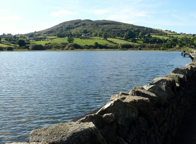 Sturgan MountainMountain / peak · 2.4 mi
 BessbrookVisitor information · 2.6 mi
 War MemorialMonument · 2.6 mi
 POST-MED CHURCH; GRAVEYARD: BALLYMOYER OLD CHURCH or LISDROMAUDE in BallintemplePOST-MED CHURCH; GRAVEYARD: BALLYMOYER OLD CHURCH or LISDROMAUDE · 2.7 mi
 Killevy Churches AONB SignVisitor information · 5.0 mi
 St Moninna's WellSpring · 5.0 mi