What is recorded here
Indicated is a vanished enclosure on a Mayo rise, mapped as a circular ringfort in 1837 and an oval in 1930, yet leaving no visible trace today. That disappearance suggests the land itself is withholding its own shape, presenting one form to surveyors and another to memory. The pasture may still be marking the boundary, though human eyes no longer see the line.
In pasture, located on a rise in undulating terrain.
Shown on the 1837 OS 6-inch map as a circular ringfort-sized enclosure, and on the 1930 edition as an oval enclosure, planted with trees. No visible surface trace at ground level.
Compiled by: Jane O'Shaughnessy
Date of upload: 12 April 2018
The monument record does not grant public access. Check the route and ask the landowner before entering private land.
- What survives
- Recorded monument
Places near here
 Rappa CastleHouse, 16th/17th century · 533 yd
 IndicatedFairy fort / earthen ringfort · 568 yd
 RathnamuffFairy fort / earthen ringfort · 784 yd
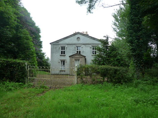 Thornfieldhouse · 1302 yd
 Deel CastleCastle · 2.1 mi
 CastleCastle, tower house · 2.3 mi
 Battle of Ballinabattle · 4.0 mi
 Belleek WoodsWood · 4.5 mi
 Rinphilip PointHeadland · 4.7 mi
 FloretteWreck · 4.8 mi
 Castle IslandIslet · 5.2 mi
 Gortabradawn PointHeadland · 5.2 mi