What is recorded here
In pasture, located on a rise in undulating terrain.
Shown on the 1837 OS 6-inch map as a circular ringfort-sized enclosure, and on the 1930 edition as an oval enclosure, planted with trees. No visible surface trace at ground level.
Compiled by: Jane O'Shaughnessy
Date of upload: 12 April 2018
The monument record does not grant public access. Check the route and ask the landowner before entering private land.
- What survives
- Recorded monument
Places near here
 Rappa CastleHouse, 16th/17th century · 533 yd
 IndicatedFairy fort / earthen ringfort · 568 yd
 RathnamuffFairy fort / earthen ringfort · 784 yd
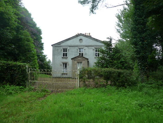 Thornfieldhouse · 1302 yd
 Deel CastleCastle · 2.1 mi
 CastleCastle, tower house · 2.3 mi
 Battle of Ballinabattle · 4.0 mi
 Belleek WoodsWood · 4.5 mi
 Rinphilip PointHeadland · 4.7 mi
 FloretteWreck · 4.8 mi
 Castle IslandIslet · 5.2 mi
 Gortabradawn PointHeadland · 5.2 mi