What is recorded here
In rough, stony and wettish pasture, straddling a low rise, with good views. There is a stream/drain c. 40m to SW, and a larger stream c. 70m to E.
Oval area (21m N–S; 15.5m E–W) enclosed on the W half by a sod-covered stone bank (Wth 1.7m; int. H 0.2m; ext. H 0.9m) of earth and stone, and on the E half by a drystone field wall. The external face of the stone bank at S–W is roughly faced with upright slabs and occasional boulders. Immediately outside the stone bank on the W half, there is a band (Wth c. 2m) of markedly wet ground, possibly indicative of a fosse, but this feature is not evident on the E half.
A slightly raised undulation is evident 3-4m outside the field wall on the E arc, which may represent the original extent of the enclosure.
The interior appears slightly raised at NE, with a gentle slope down to S and SW. The surface is stony in parts. A slight hollow abuts the inner face of the enclosing stone bank at NE. There is a gap (Wth 2.4m) at the WNW, and several narrow gaps/eroded sections of the stone bank on the W half of the enclosure. The interior is planted with conifers.
Compiled by: Jane O’Shaughnessy
Date of upload: 1 June 2021
The monument record does not grant public access. Check the route and ask the landowner before entering private land.
- What survives
- Recorded monument
Places near here
 farm housefarm house · 748 yd
 IndicatedFairy fort / earthen ringfort · 757 yd
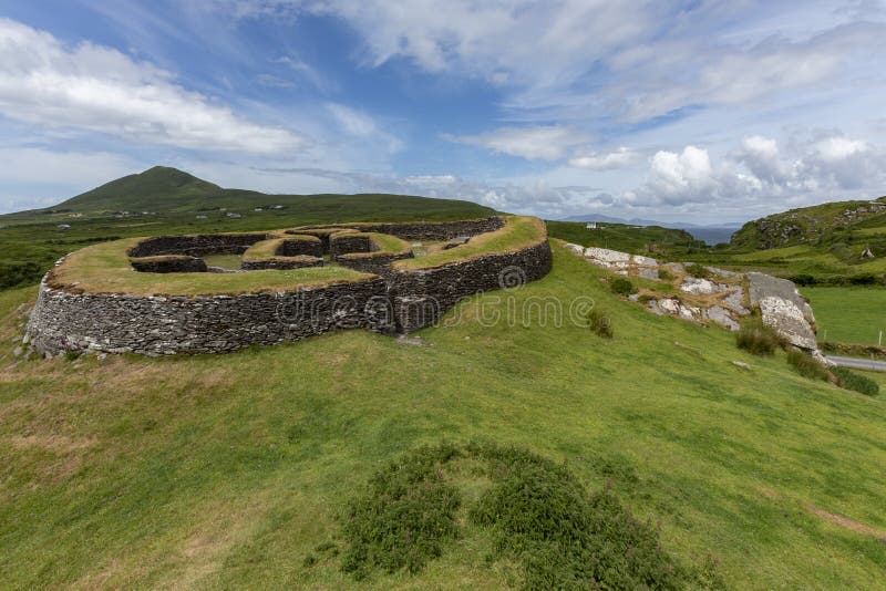 Cashelgal FortFairy fort / stone ringfort · 1185 yd
 Church in Rusheens WestChurch · 1.3 mi
 Crunaun Castle (in ruins)Castle, unclassified · 1.9 mi
 Casatle (ruins)Castle, unclassified · 2.4 mi
 Bockagh HillMountain / peak · 4.1 mi
 East Mayo Brigade MonumentMemorial · 8.2 mi
 Bawn IslandIslet · 9.0 mi
 Rose PointHeadland · 9.6 mi
 Crow IslandIslet · 9.8 mi
 Castle PointHeadland · 9.9 mi