
What is recorded here
Located on the summit of a drumlin. This is a subcircular grass and rush-covered area (dims 46.5m N-S; 39m E-W) defined by a scarp (at E: H 1.5m) and hedge that is incorporated into a field bank with an outer drain N-ESE. There is no visible fosse or identifiable original entrance. A farm track enters the monument at SW and follows the top of the scarp clockwise to NW where it exits. A small standing stone (MO017-029----) is outside the perimeter at SSE.
The above description is derived from the published 'Archaeological Inventory of County Monaghan' (Dublin: Stationery Office, 1986). In certain instances the entries have been revised and updated in the light of recent research.
Revised by: Michael Moore
Date of revision: 8 May 2018
Rakeevan fort is a subcircular early-medieval ringfort situated on the summit of a drumlin, characterized by a scarp and hedge incorporated into a field bank. Local folklore, though not detailed in records, often associates such elevated forts with fairy dwellings or ancient druidic sites.
The monument record does not grant public access. Check the route and ask the landowner before entering private land.
- What survives
- Recorded monument
Places near here
 Doupy Mills, AGHNACUEmill (water) · 538 yd
 Embanked enclosure, AghnacueFairy fort / earthen ringfort · 780 yd
 bridge, AGHNACUEbridge · 929 yd
 Crannog in DrumateCrannog · 1432 yd
 Tomb HillMountain / peak · 2.0 mi
 LisnaspeenanMountain / peak · 3.7 mi
 Rabbitburrow WoodWood · 3.8 mi
 Brown Bog WoodForest · 4.1 mi
 Saint John's WellSpring · 4.4 mi
 Jaundice WellSpring · 4.6 mi
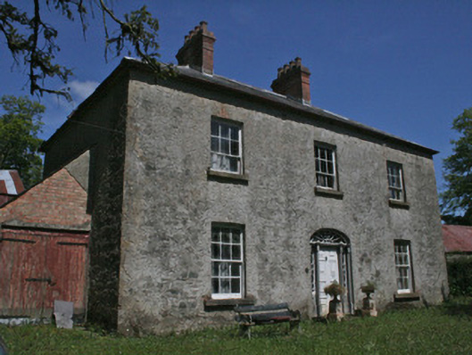 Drumbrean Cottagehouse · 1164 yd
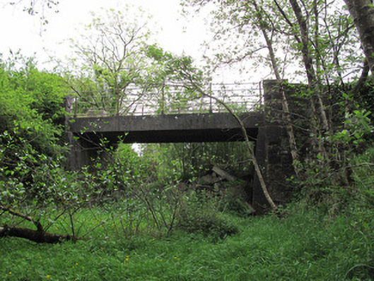 bridge, DRUMATE, FEAGHbridge · 1446 yd
Other information
Photo: Credit not shown in the picture search · Rights wording not checked; contact us if this picture should be removed