What is recorded here
On the Down Survey (1655-6) barony map of Crannagh, in the SE portion of ‘Rathely’ townland in the parish of ‘Beallanamara’ but not depicted on the Down Survey (1655-6) parish map of ‘Belanemarra’. The terrier accompanying the parish map lists ‘Major Thomas Adams Protestant’ as the proprietor of ‘Rathelty’ in 1640 (ibid.). Listed separately in the SMR as KK018-081001-; KK018-081002- and KK018-081003-. The SMR (1987) gives the townland as Rathmoyle but this is an error. The precise location of these houses is unknown.
See attached:
KK018-081001-_01 extract from Down Survey (1655-6) barony map of ‘Crannagh’ (Hib. Reg., courtesy of Trinity College Dublin)
Compiled by: Jean Farrelly
Date of upload: 29 March 2021
The monument record does not grant public access. Check the route and ask the landowner before entering private land.
- What survives
- Recorded monument
Places near here
 Bawn in BoolysheaBawn · 1700 yd
 Trinity WellHoly well · 1.0 mi
 Enclosure in CloransheaEnclosure · 1.0 mi
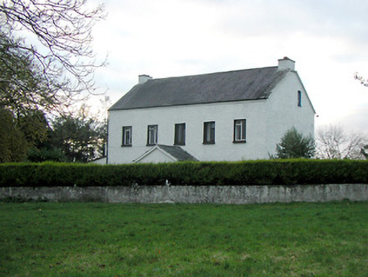 Mountgale Housefarm house · 1.2 mi
 Lacken Castle (site of)Archaeological place · 1.3 mi
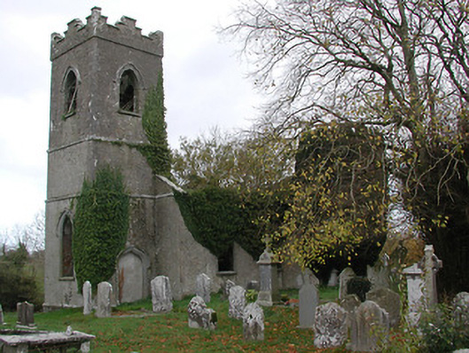 Ballinamara Churchchurch/chapel · 1.3 mi
 Turkey OakTurkey Oak · 2.8 mi
 Graveyard in ThreecastlesGraveyard · 2.9 mi
 Brown's WoodWood · 3.7 mi
 Freshford LoopWalking route · 4.1 mi
 Emma Jane Browne-ClaytonMemorial · 4.2 mi
 Ballykeeffe Mass RockNamed rock · 4.4 mi