What is recorded here
Rahelty holds a vanished rath east of the Ballinamara road, remembered only through O'Kelly's 1969 words. It resisted mapping in 1839 and 1900, eluding both copperplate precision and human memory. Perhaps it was never a grand fortress, but a shallow ring of stones, a boundary drawn for one family, one season, one argument about ownership. Enclosures disappear when stopping matter is removed. What remains is a direction, a road name and the suspicion that something once stood there.
According to O'Kelly (1969, 5) in Rathelty townland, 'The rath is east of the Ballinamara road'. There is no enclosure indicated in this townland on the 1st (1839) ed. OS 6-inch map or on the 1900 revision. The location of this 'rath' within the townland is unknown.
Compiled by: Jean Farrelly
Date of upload: 2 April 2020
The monument record does not grant public access. Check the route and ask the landowner before entering private land.
- What survives
- Recorded monument
Places near here
 Bawn in BoolysheaBawn · 1700 yd
 Trinity WellHoly well · 1.0 mi
 Enclosure in CloransheaEnclosure · 1.0 mi
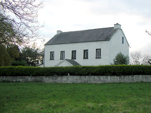 Mountgale Housefarm house · 1.2 mi
 Lacken Castle (site of)Archaeological place · 1.3 mi
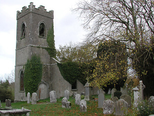 Ballinamara Churchchurch/chapel · 1.3 mi
 Turkey OakTurkey Oak · 2.8 mi
 Graveyard in ThreecastlesGraveyard · 2.9 mi
 Brown's WoodWood · 3.7 mi
 Freshford LoopWalking route · 4.1 mi
 Emma Jane Browne-ClaytonMemorial · 4.2 mi
 Ballykeeffe Mass RockNamed rock · 4.4 mi