What is recorded here
Situated on a slight E-facing slope in gently undulating pasture. Slightly raised circular area (diam. 25m) enclosed by a low irregular bank of earth (Wth 4m; int. H 0.3m; ext. H 0.6m). There is no fosse visible at ground level. From NW-SE the bank has been removed and the edge of the site is barely discernable as a slight irregular scarp. A field drain has been cut along the external base of the bank S-NW. The original entrance is not recognisable. The NE one-third of the site has been almost entirely removed.
Compiled by: Patrick F. O'Donovan
Date of upload: 21 April 2011
This remains an important historical record, but the official description says the monument is no longer visible or has been destroyed. The monument record does not grant public access. Check the route and ask the landowner before entering private land.
- What survives
- No visible remains or recorded as destroyed
Places near here
 IndicatedFairy fort / earthen ringfort · 234 yd
 Cat CornerWood · 252 yd
 Enclosure in BallygilganEnclosure · 451 yd
 Shepherd's FlatWood · 680 yd
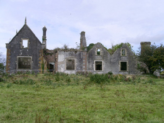 Rahelly Housecountry house · 784 yd
 Lissadell Housegate lodge · 1463 yd
 Finned PointHeadland · 1.4 mi
 Castle (Site of)Castle, unclassified · 1.7 mi
 CastleCastle, unclassified · 1.9 mi
 Drumcliff BayBay · 2.3 mi
 Grave of WB YeatsHeritage attraction · 2.4 mi
 Drumcliff CemeteryGraveyard · 2.5 mi