What is recorded here
In pasture immediately S of the townland boundary with Grange. Annotated ‘Raheennamadra’ on the 1897 ed. OSi 25-inch map where it is depicted as a raised roughly circular-shaped platform (dims. c. 20m N-S; 17m E-W) defined by a scarp with gap at N. Truncated at N by drain running E-W. Earthwork described by Westropp (1916-19, 172) as 'not far from Clogher Hill is the mote of Raheenamaddera, a flat-topped mound, girt by a fosse'. Outline of heavily overgrown monument is visible on Google Earth orthoimages.
See attached Google Earth orthoimages.
Compiled by: Martin Fitzpatrick
Date of upload: 16 July 2021
The monument record does not grant public access. Check the route and ask the landowner before entering private land.
- What survives
- Recorded monument
Places near here
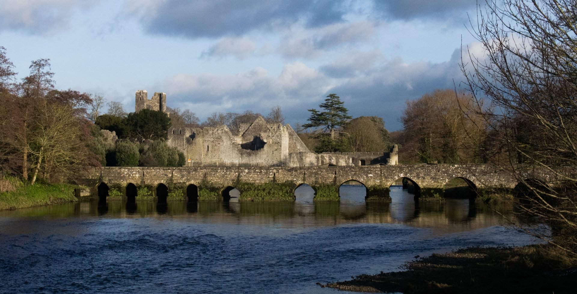 RaheenamadraArchaeological place · 7 yd
 Ballyscaddanegate lodge, demesne walls/gates/railings · 790 yd
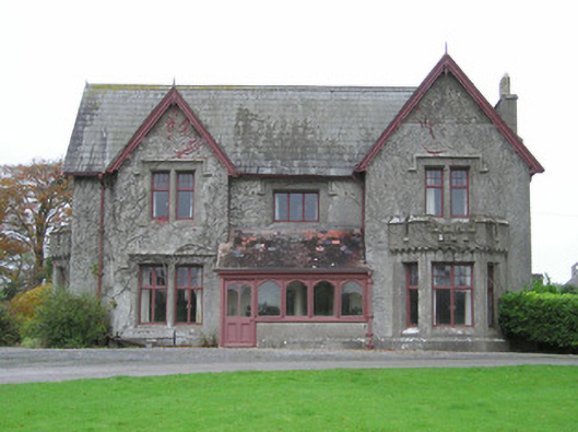 Scarteen Housecountry house · 889 yd
 Hut site in RaheennamadraHut site · 897 yd
 Ryves CastleCastle, unclassified · 1357 yd
 St Patrick's WellSpring · 1419 yd
 Castle (in ruins)Castle, tower house · 1505 yd
 Saint Patrick's WellSpring · 1755 yd
 Carn (site of)Cairn, burial cairn · 2.0 mi
 Ballinvreena LoopVisitor information · 3.2 mi
 SlievereaghMountain / peak · 3.4 mi
 Flat cemetery in Knockainy WestFlat cemetery · 4.3 mi