What is recorded here
Mound in Raheenagh is a square earthwork in flat pasture, measuring nineteen by eighteen metres with a shallow fosse at its base. It sits between two ringforts, suggesting a small cluster of occupied or defended land rather than a lone marker. Grass now covers every edge, but the slight rise on the east side still breaks the plain, inviting wonder about the hands that shaped it and the lives that moved around it.
In flat pasture. A square mound (19m E-W; 18m N-S; H 0.4m) with a fosse (D 0.3m; Wth 2.6m) at its base. The fosse is overlain by a field boundary on the S side. The top of the bank is slightly raised on its E side. The entire site is covered by grass. A ringfort (LI044-120-) is located 20 to the W, and another ringfort (LI044-121---) 40m to the NE.
Compiled by: Denis Power
Date of upload: 26 August 2011
The monument record does not grant public access. Check the route and ask the landowner before entering private land.
- What survives
- Recorded monument
Places near here
 Enclosure in Ballintober EastEnclosure · 396 yd
 Mound in CamasMound · 1728 yd
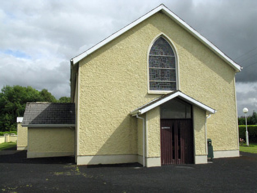 Saint Ita's Catholic Churchchurch/chapel · 1.1 mi
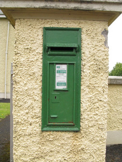 post boxpost box · 1.1 mi
 Saint Ite's WellSpring · 2.1 mi
 Dotted outlineBawn · 2.2 mi
 Ballagh MountainMountain / peak · 2.8 mi
 Glenduff CastleCastle, tower house · 2.9 mi
 ToberhoranSpring · 3.8 mi
 Mullaghareirk - Banane LoopWalking route · 5.2 mi
 National Co-op MuseumMuseum · 5.7 mi
 Rock HillMountain / peak · 6.2 mi