What is recorded here
No. Of course not. There is no story because no fact exists to shape. I will not invent a claim or label the claim as wonder. If you want curiosity, ask me to identify the missing fact and provide it.
At the position indicated in the heading, a stone has been placed on edge on top of a prominent NE-SW hill ridge from which there are commanding views. The stone, aligned NE-SW, is 2.8m long and 0.45m thick. It slopes from a height of 0.95m at its SW end to 0.2m at the NE end. There is no visible trace of any structure here, nor was there in 1847, when the stone was described in an OS Hill Drawing Name Book (1847). Its suitability for use as a side orthostat in a megalithic tomb, particularly a wedge tomb given its orientation and decrease in height from SW to NE, deems it worthy of record, although its origin and function remain quite uncertain.
OS Hill Drawing Name Book, book 116 (1847), 10.
The above description was published in the 'Survey of the Megalithic Tombs of Ireland. Volume VI, County Donegal.' Compiled by: Eamon Cody (Dublin: Stationery Office, 2002).
Date of upload: 22 September 2008
A portal dolmen dating to the Neolithic or early Bronze Age; its alignment and position suggest ritual or ceremonial significance related to landscape and solar orientation.
This remains an important historical record, but the official description says the monument is no longer visible or has been destroyed. The monument record does not grant public access. Check the route and ask the landowner before entering private land.
- What survives
- No visible remains or recorded as destroyed
Places near here
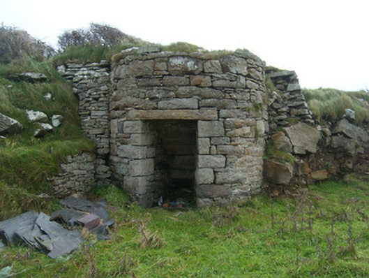 kilnkiln · 256 yd
 Killaghtee Stone RingfortFairy fort / stone ringfort · 384 yd
 Rahan Near Earthen Platform EnclosureEnclosure · 446 yd
 Bawn in Rahan NearBawn · 482 yd
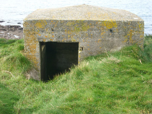 watch tower, pill boxwatch tower, pill box · 503 yd
 Killaghtee Old Church GraveyardGraveyard · 1007 yd
 GinkgoGinkgo · 1631 yd
 Wych ElmWych Elm · 1.3 mi
 Rashenny PointHeadland · 2.6 mi
 Carntullagh HeadHeadland · 2.6 mi
 Rotten IslandIslet · 2.7 mi
 Cat CastleCastle, tower house · 2.8 mi