
What is recorded here
Indicated is an ecclesiastical enclosure in County Offaly, Ireland. Modern field boundaries follow its eastern, southern and northern lines, while a river marks the northern edge. Two earthen banks once encircled Rahan monastery, with an entrance at the south and internal divisions visible in aerial photographs. The place still shapes the land, even when forgotten.
Modern field boundaries follow the line of the ecclesiastical enclosure from E through S to N with river at N. Described by Stanley (1870-1, 27-9) as two earthen banks which encircled Rahan monastery (OF016-015----) with an entrance at S. Aerial photographs (CUCAP, ATC 63; CUCAP, BDT 103) shows outline of ecclesiastical enclosure with internal divisions and earthworks.
The above description is derived from the published 'Archaeological Inventory of County Offaly' (Dublin: Stationery Office, 1997). In certain instances the entries have been revised and updated in the light of recent research.
Date of upload: 23 May 2011
The monument record does not grant public access. Check the route and ask the landowner before entering private land.
- What survives
- Recorded monument
Places near here
 St Carthachs Church, Abbey (in Ruins)Church · 105 yd
 Saint Carthach's Church (Rahan)church/chapel · 106 yd
 BarrowBarrow, ditch barrow · 116 yd
 European YewEuropean Yew · 123 yd
 HawthornHawthorn · 137 yd
 IndicatedFairy fort / earthen ringfort · 486 yd
 Trumpet HillMountain / peak · 1.5 mi
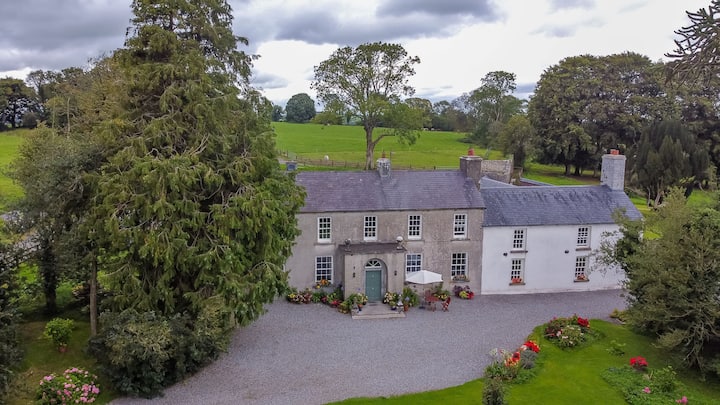 Bawn in Roscore DemesneBawn · 1.6 mi
 Castle (in ruins)Castle, tower house · 2.0 mi
 Ardnagross WellSpring · 2.7 mi
 Clara Bog BoardwalkHeritage attraction · 3.0 mi
 Christ's WellSpring · 3.4 mi
Other information
Photo: Credit not shown in the picture search · Rights wording not checked; contact us if this picture should be removed