What is recorded here
Half a kilometre of rectangular fields still holds its shape on the west-facing slope, their earthen banks unbroken since the trackway cut through them. The cultivation ridges inside each compartment suggest hands that knew exactly how deep to turn the soil and how far the boundary could bend. A ringfort waits two hundred and fifty metres to the southeast, large enough to belong to the fields rather than shadow them. What is missing is not structure but witness: the people who walked the curving track, measured the banks and decided which field belonged to which season.
On a W-facing slope in grassland. A series of earthen banks forming roughly rectangular fields cover an area c. 250m E-W by c. 200m N-S. Cultivation ridges are visible within the fields and a curving coeval trackway (L 200m, Wth 5m), defined by parallel banks, runs through the monument. A ringfort (GA086-211----) lies c. 250m to SE.
The above description is derived from the published 'Archaeological Inventory of County Galway Vol. II - North Galway'. Compiled by Olive Alcock, Kathy de hÓra and Paul Gosling (Dublin: Stationery Office, 1999).
Date of upload: 05 August 2010
The monument record does not grant public access. Check the route and ask the landowner before entering private land.
- What survives
- Recorded monument
Places near here
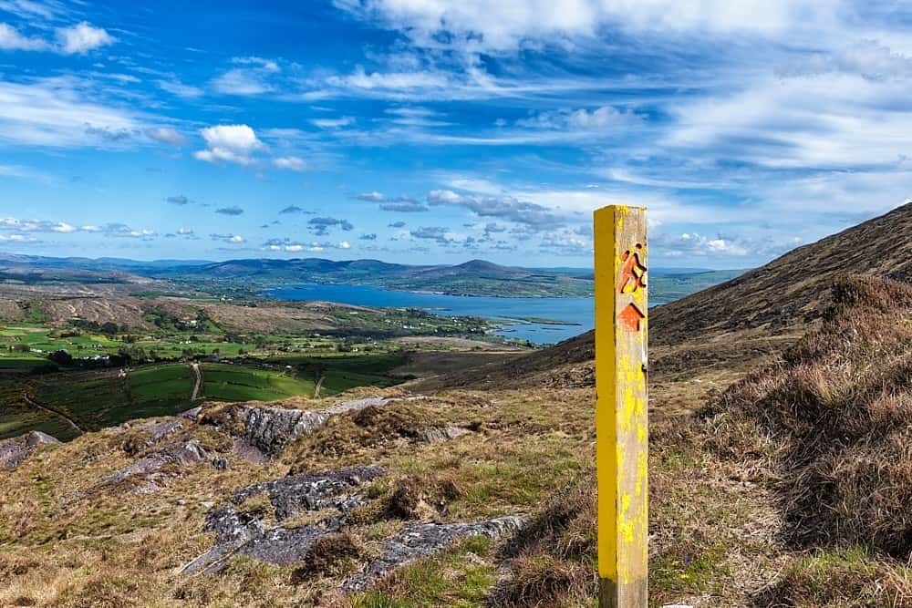 IndicatedField system · 980 yd
 ToberdoneyHoly well · 1633 yd
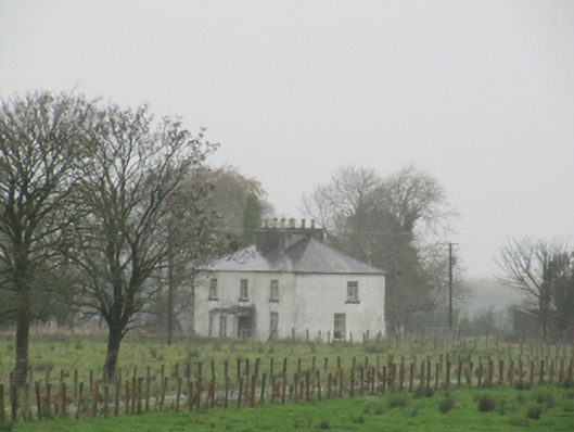 Rathglass Housecountry house · 1.2 mi
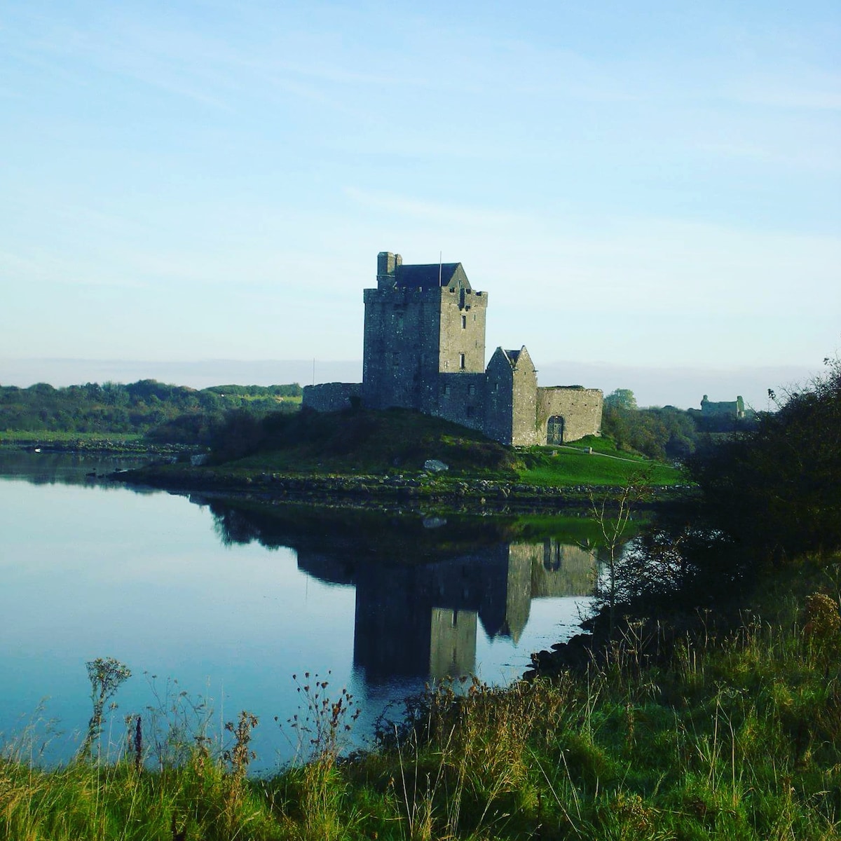 R.C. ChapelChurch · 1.4 mi
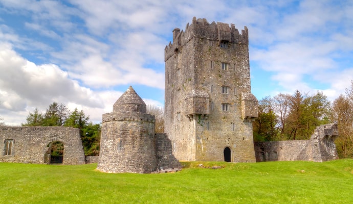 CastleCastle, unclassified · 1.9 mi
 Galboley Castle (in ruins)Castle, unclassified · 2.9 mi
 Turoe StoneHeritage attraction · 3.0 mi
 Woodlawn WoodsForest · 3.2 mi
 European Crab AppleEuropean Crab Apple · 3.5 mi
 Dartfield Horse MuseumHeritage attraction · 4.3 mi
 Battle of Aughrim Interpretative CentreMuseum · 8.1 mi
 Battle of AughrimMajor battlefield · 8.3 mi