What is recorded here
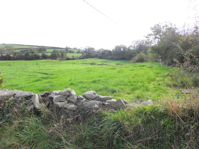
RATH in Raffrey, County Down, is an ancient Irish earthwork, not a modern building or a named household. The name Rath appears throughout Ireland on circular defences, boundary ditches and abandoned settlement platforms, while Raffrey gives it a local address rather than a unique identity. The official record supplies a kind and a point, but it does not say when the ditch was cut, who lived inside it or why the field took that shape. It may have been a farmstead, a seasonal camp or a small defended place forgotten before written history began.
The official Northern Ireland record identifies this as RATH. Recorded period: E.CHRIST.. The official map point was placed at the centre of the recorded archaeological site from the source map reference.
The monument record does not grant public access. Check the route and ask the landowner before entering private land.
- What survives
- Recorded monument
Places near here
 Raffrey Presbyterian ChurchChurch · 411 yd
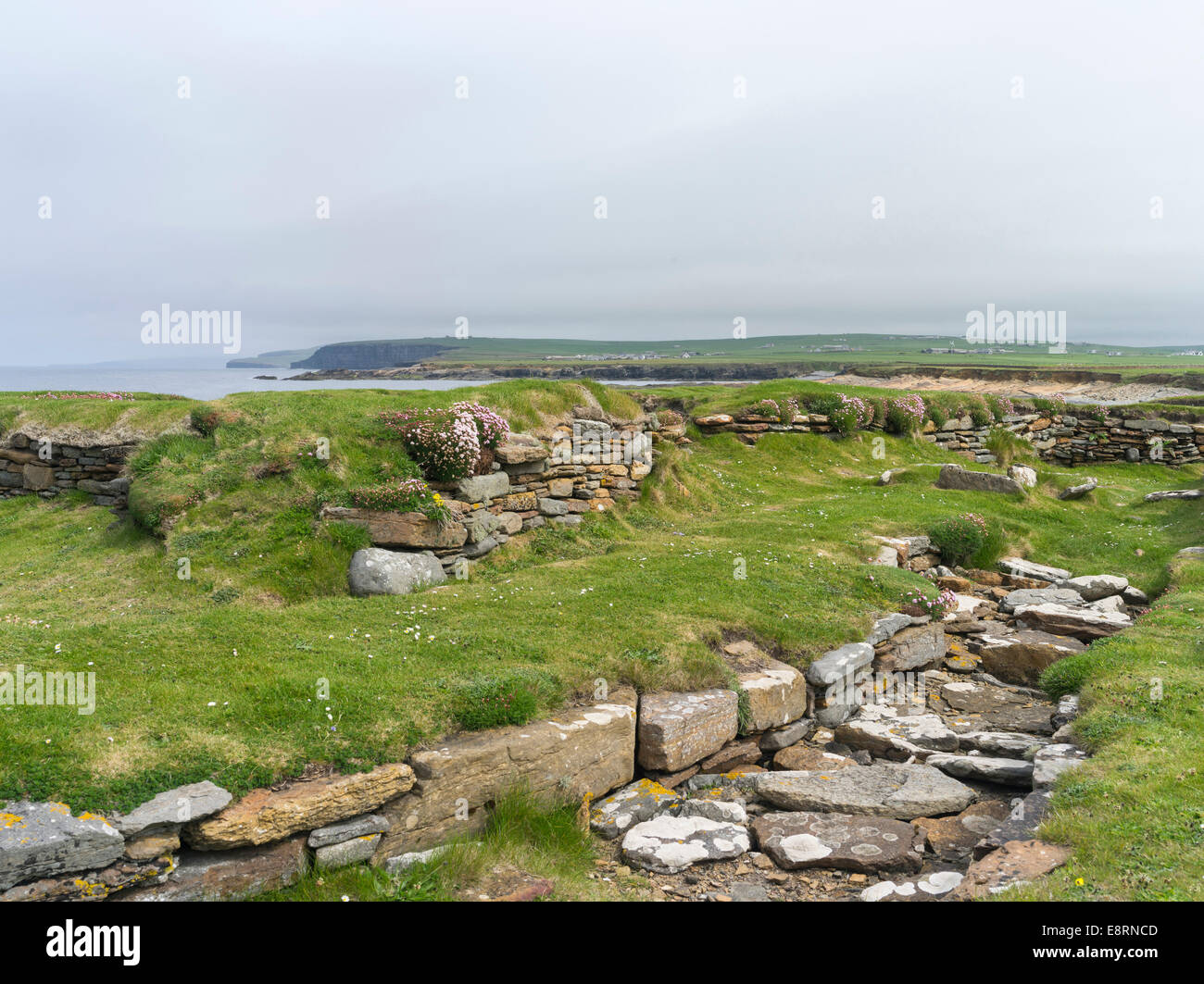 Historic Settlement Darragh Cross in BarnamagheryHistoric Settlement Darragh Cross · 1.2 mi
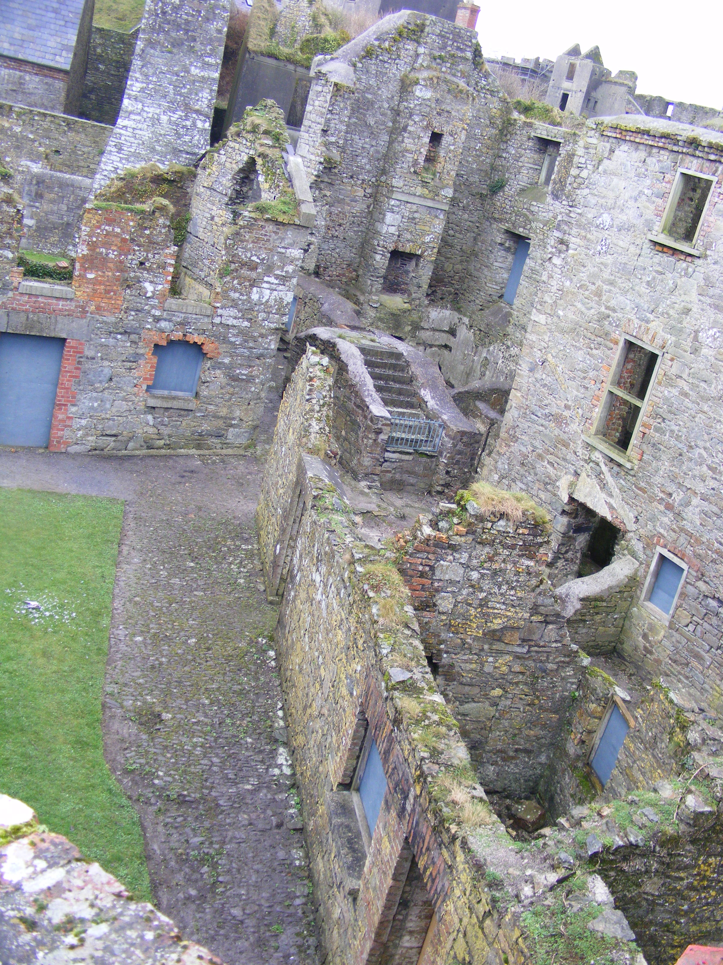 ENCLOSURE: CURLEY'S FORT in BarnamagheryENCLOSURE: CURLEY'S FORT · 1.3 mi
 Glasswater WoodWood · 2.6 mi
 Former market houseOffice · 3.4 mi
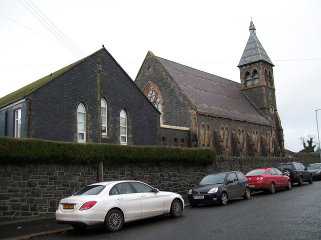 The Square Car ParkVisitor information · 3.4 mi
 ShrigleyVisitor information · 3.8 mi
 Battle of Saintfield (1798)Battlefield · 4.0 mi
 CASTLE, possibly Tower-House in RingdufferinCASTLE, possibly Tower-House · 4.2 mi
 Wallace HillMountain / peak · 4.2 mi
 ARCHAEOLOGICALLY SENSITIVE AREA AROUND THE CASTLE in RingdufferinARCHAEOLOGICALLY SENSITIVE AREA AROUND THE CASTLE · 4.3 mi
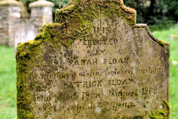 KILLOWEN MEDIEVAL CHURCH (ruined) and GRAVEYARD; with 2 CROSS-CARVED STONES in Corporation (killyleagh)KILLOWEN MEDIEVAL CHURCH (ruined) and GRAVEYARD; with 2 CROSS-CARVED STONES · 4.3 mi