What is recorded here
Enclosure in Raffin stands on a narrow ridge in County Meath, preserving a paleovalle trench and oval boundary that date to 1500-800 BC. People may have gathered there to mark seasons, bury the dead or defend a small home, while later visitors mistook the earthwork for an ordinary barrow. The ridge still holds the shape of that choice, waiting for rain, foottraffic or memory to reveal what the trench excluded.
Situated on the summit of a N-S ridge. When first described in 1969 (SMR file) the earthwork presented as a large ring-barrow consisting of a circular grass-covered area (diam. 38.5m NW-SE) separated by a fosse (Wth of top 6.5m-7.5m; Wth of base 2-2.5m; int. D 0.6-0.7m; ext. D 0.8-0.9m) from an outer earthen bank (Wth of base 3-5.8m; ext. H 0.5m at NW to 1.2m at SE).
The earthwork was damaged in 1988 and a subsequent excavation (E000510) in the years 1989-1993 revealed a complex of features including a possible Neolithic house, two hut-sites, two enclosures, two timber circles and a ritual burial. In the final 1993 season the earliest fosse uncovered (ME011-040002-) was Neolithic in date but an oval enclosure (dim. 29m N-S) defined by a single narrow palisade trench and with an entrance at SE was also uncovered. It is associated with coarse pottery that produced a radiocarbon date of 1500-800 BC, and encloses a hut-site (ME011-040005-). (Newman 1993b; 1993c, 7-8; 1993, 21d)
Compiled by: Michael Moore
Date of upload: 10 April, 2019
The monument record does not grant public access. Check the route and ask the landowner before entering private land.
- What survives
- Recorded monument
Places near here
 Raffin FortArchaeological place · 13 yd
 Enclosure in RaffinEnclosure · 28 yd
 Peters ChurchChurch · 1.1 mi
 Headstown ForestForest · 1.1 mi
 HeadstownMountain / peak · 1.2 mi
 Castletown FortCastle, motte and bailey · 1.3 mi
 Drakerath CastleCastle, unclassified · 1.3 mi
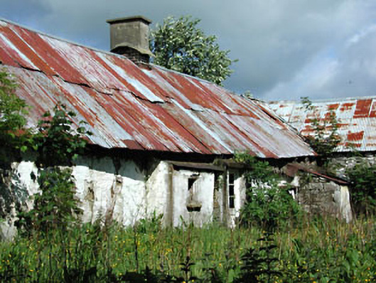 farm housefarm house · 1.5 mi
 Fox CovertWood · 1.7 mi
 Ugly HillMountain / peak · 2.1 mi
 Nobber GreenwayMemorial · 2.3 mi
 Owenroe and Moynalty DrainageMemorial · 2.3 mi